Hopewell, Virginia — The American South (Mid-Atlantic)
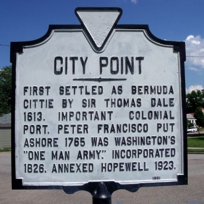
City Point
Erected 1961.
Topics. This historical marker is listed in these topic lists: Colonial Era • Settlements & Settlers • War, US Civil • War, US Revolutionary. A significant historical year for this entry is 1613.
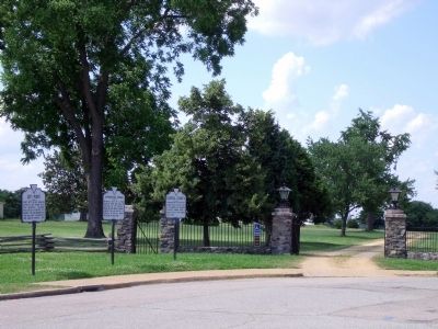
Location. 37° 18.921′ N, 77° 16.621′ W. Marker is in Hopewell, Virginia. Marker is at the intersection of Cedar Lane and Pecan Avenue, on the left when traveling north on Cedar Lane. This marker is located in the City Point Unit of the Petersburg National Battlefield. Touch for map. Marker is in this post office area: Hopewell VA 23860, United States of America. Touch for directions.
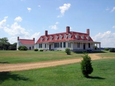
Other nearby markers. At least 8 other markers are within walking distance of this marker. Appomattox Manor (here, next to this marker); General Grant's Headquarters (a few steps from this marker); City Point, Virginia (a few steps from this marker); General Grant's Headquarters at City Point (within shouting distance of this marker); The Peacemaker (within shouting distance of this marker); Porter House (within shouting distance of this marker); The Depot Field Hospital (within shouting distance of this marker); A Supply Hub (about 300 feet away, measured in a direct line). Touch for a list and map of all markers in Hopewell.
Also see . . . Petersburg National Battlefield. City Point. (Submitted on June 4, 2009, by Bernard Fisher of Richmond, Virginia.)
Credits. This page was last revised on June 16, 2016. It was originally submitted on June 4, 2009, by Bernard Fisher of Richmond, Virginia. This page has been viewed 1,012 times since then and 13 times this year. Photos: 1, 2. submitted on June 4, 2009, by Bernard Fisher of Richmond, Virginia. 3. submitted on June 5, 2009, by Bernard Fisher of Richmond, Virginia.


