Hagerstown in Washington County, Maryland — The American Northeast (Mid-Atlantic)
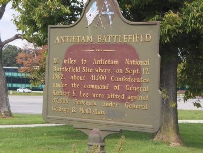
Antietam Battlefield
12 miles to Antietam National Battlefield Site, where on Sept. 17, 1862, about 41,000 Confederates under the command of General Robert E. Lee were pitted against 87,000 Federals under General George B. McClellan.
Erected 1958 by Women of the Moose, Hagerstown, Maryland Chapter No. 842.
Topics. This historical marker is listed in these topic lists: War, US Civil • Women. A significant historical month for this entry is September 1890.
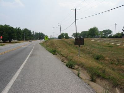
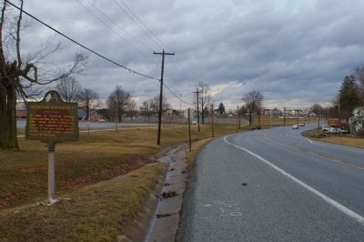
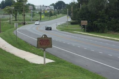
Location. 39° 36.934′ N, 77° 43.84′ W. Marker is in Hagerstown, Maryland, in Washington County. Marker is on South Potomac Street (Maryland Route 65) 0.1 miles south of Doub Way, on the right when traveling south. Touch for map. Marker is in this post office area: Hagerstown MD 21740, United States of America. Touch for directions.
Other nearby markers. At least 8 other markers are within 2 miles of this marker, measured as the crow flies. Washington Confederate Cemetery (approx. one mile away); a different marker also named Washington Confederate Cemetery (approx. one mile away); a different marker also named Washington Confederate Cemetery (approx. one mile away); Gen. Robert E. Lee (approx. one mile away); Jacob Wheaton (approx. one mile away); Funkstown Bridge No. 2 (approx. one mile away); In Memory of Lyon Post #31 (approx. 1.1 miles away); Thomas Kennedy (approx. 1.1 miles away). Touch for a list and map of all markers in Hagerstown.
Also see . . .
1. Antietam National Battlefield. National Park service website entry (Submitted on August 3, 2007, by Roger Dean Meyer of Yankton, South Dakota.)
2. A Short Overview of the Battle of Antietam. National Park Service website entry (Submitted on August 3, 2007, by Roger Dean Meyer of Yankton, South Dakota.)
Credits. This page was last revised on February 23, 2022. It was originally submitted on August 3, 2007, by Roger Dean Meyer of Yankton, South Dakota. This page has been viewed 2,142 times since then and 60 times this year. Photos: 1. submitted on August 3, 2007, by Roger Dean Meyer of Yankton, South Dakota. 2. submitted on August 3, 2007, by Craig Swain of Leesburg, Virginia. 3. submitted on March 9, 2008, by Christopher Busta-Peck of Shaker Heights, Ohio. 4. submitted on August 1, 2012, by Mike Stroud of Bluffton, South Carolina. 5. submitted on August 3, 2007, by Craig Swain of Leesburg, Virginia. • J. J. Prats was the editor who published this page.
