Chambersburg in Franklin County, Pennsylvania — The American Northeast (Mid-Atlantic)
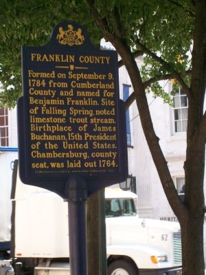
Franklin County
Erected 1981 by Pennsylvania Historic and Museum Commission.
Topics and series. This historical marker is listed in these topic lists: Colonial Era • Patriots & Patriotism • Settlements & Settlers • Waterways & Vessels. In addition, it is included in the Former U.S. Presidents: #15 James Buchanan, and the Pennsylvania Historical and Museum Commission series lists. A significant historical month for this entry is September 1814.
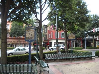
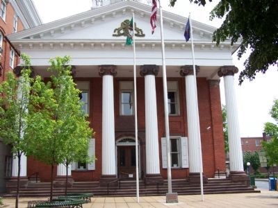
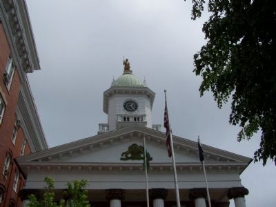
Location. 39° 56.245′ N, 77° 39.623′ W. Marker is in Chambersburg, Pennsylvania, in Franklin County. Marker is on Lincoln Way East (U.S. 30) east of Main Street (U.S. 11), on the right when traveling west. Marker is located on the sidewalk near the Franklin County Courthouse and is across from the Chambersburg Heritage Center. Touch for map. Marker is at or near this postal address: 157 Lincoln Way E, Chambersburg PA 17201, United States of America. Touch for directions.
Other nearby markers. At least 8 other markers are within walking distance of this marker. Burning of Chambersburg (here, next to this marker); a different marker also named The Burning of Chambersburg (within shouting distance of this marker); Abolitionist John Brown Boards in Chambersburg (within shouting distance of this marker); Finding Your Way (within shouting distance of this marker); Chambersburg Founded A.D. 1764 (within shouting distance of this marker); War Between the States (within shouting distance of this marker); French & Indian War – Revolutionary War – War of 1812 (within shouting distance of this marker); Union Soldiers of Franklin County (within shouting distance of this marker). Touch for a list and map of all markers in Chambersburg.
Credits. This page was last revised on December 5, 2019. It was originally submitted on August 22, 2007, by Zachary Hinton of Carneys Point, New Jersey. This page has been viewed 1,660 times since then and 15 times this year. Photos: 1. submitted on August 22, 2007, by Zachary Hinton of Carneys Point, New Jersey. 2. submitted on August 21, 2010, by Bill Coughlin of Woodland Park, New Jersey. 3, 4. submitted on June 1, 2008, by Bill Pfingsten of Bel Air, Maryland. • J. J. Prats was the editor who published this page.


