Marker Logo HMdb.org THE HISTORICAL
MARKER DATABASE
“Bite-Size Bits of Local, National, and Global History”
Near Cartersville in Bartow County, Georgia — The American South (South Atlantic)
 

Battle of Allatoona


Battle of Allatoona Marker image. Click for full size.
Photographed By David Seibert, August 13, 2009
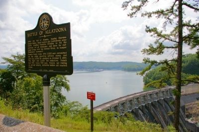
1. Battle of Allatoona Marker
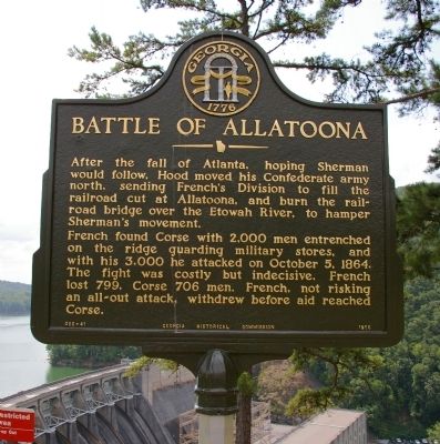
Inscription. After the fall of Atlanta, hoping Sherman would follow, Hood moved his Confederate army north, sending French’s Division to fill the railroad cut at Allatoona, and burn the railroad bridge over the Etowah River, to hamper Sherman’s movement.

French found Corse with 2,000 men entrenched on the ridge guarding military stores, and with his 3,000 he attacked on October 5, 1864. The fight was costly but indecisive. French lost 799, Corse 706 men. French, not risking an all-out attack, withdrew before aid reached Corse.
 
Erected 1956 by Georgia Historical Commission. (Marker Number 008-41.)
 
Topics and series. This historical marker is listed in this topic list: War, US Civil. In addition, it is included in the Georgia Historical Society series list. A significant historical month for this entry is October 1991.
 
Location. 34° 9.92′ N, 84° 43.8′ W. Marker is near Cartersville, Georgia, in Bartow County. Marker can be reached from Unnamed road, one mile south of Georgia Route 20 Spur. The marker is at the overlook above the Allatoona Dam, at the end of a walking trail leading from the US Corps of Engineers Allatoona Dam Resource Manager's Office. The Resource Manager's office is at the end of a park road which leads south from the end of Georgia Highway
Paid Advertisement
Click on the ad for more information.
Please report objectionable advertising to the Editor.
Click or scan to see
this page online
20 Spur. This road is four miles from the intersection of Georgia Highway 20 and Georgia Highway 20 Spur, just east of Interstate 75. Touch for map. Marker is in this post office area: Cartersville GA 30120, United States of America. Touch for directions.
 
Other nearby markers. At least 8 other markers are within 4 miles of this marker, measured as the crow flies. Etowah and the War (a few steps from this marker); Mark Anthony Cooper's Iron Works (approx. 0.2 miles away); Federal Fort (approx. 2.6 miles away); Etowah (approx. 2.7 miles away); Friendship Cemetery (approx. 2.8 miles away); Emerson (approx. 3.1 miles away); Federal Trenches (approx. 3½ miles away); The Crow's Nest (approx. 3½ miles away). Touch for a list and map of all markers in Cartersville.
 
Battle of Allatoona Marker image. Click for full size.
Photographed By David Seibert, August 13, 2009
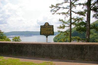
2. Battle of Allatoona Marker
The Allatoona Dam and Powerhouse are in the distance
Battle of Allatoona Marker image. Click for full size.
Photographed By David Seibert, August 13, 2009
3. Battle of Allatoona Marker
Lake Allatoona, formed by the Allatoona Dam on the Etowah River, is visible from the marker
Battle of Allatoona Marker image. Click for full size.
Photographed By David Seibert, August 13, 2009
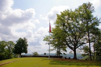
4. Battle of Allatoona Marker
The marker is situated behind the wall of the overlook
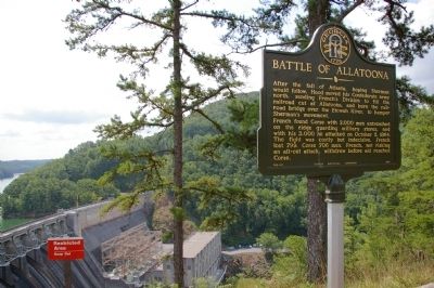
Battle of Allatoona Marker image. Click for full size.
Photographed By David Seibert, August 13, 2009
5. Battle of Allatoona Marker
The marker at the far end of the Allatoona Dam overlook
Major General John M. Corse,<br>Who "Held the Fort" at Allatoona image. Click for full size.
Internet Archive
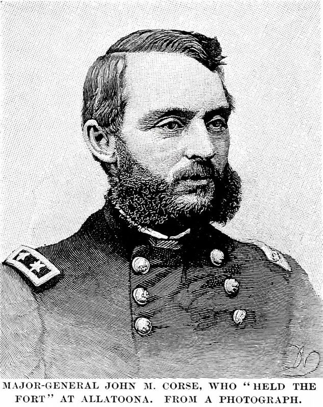
6. Major General John M. Corse,
Who "Held the Fort" at Allatoona
from Robert Underwood Johnson & Clarence Clough Buell, Battles and Leaders of the Civil War, Vol, 4, 1887.
Allatoona Pass, Looking North<br>Corse's Fort on the left. image. Click for full size.
Internet Archive
7. Allatoona Pass, Looking North
Corse's Fort on the left.
from Robert Underwood Johnson & Clarence Clough Buell, Battles and Leaders of the Civil War, Vol 4, 1887.
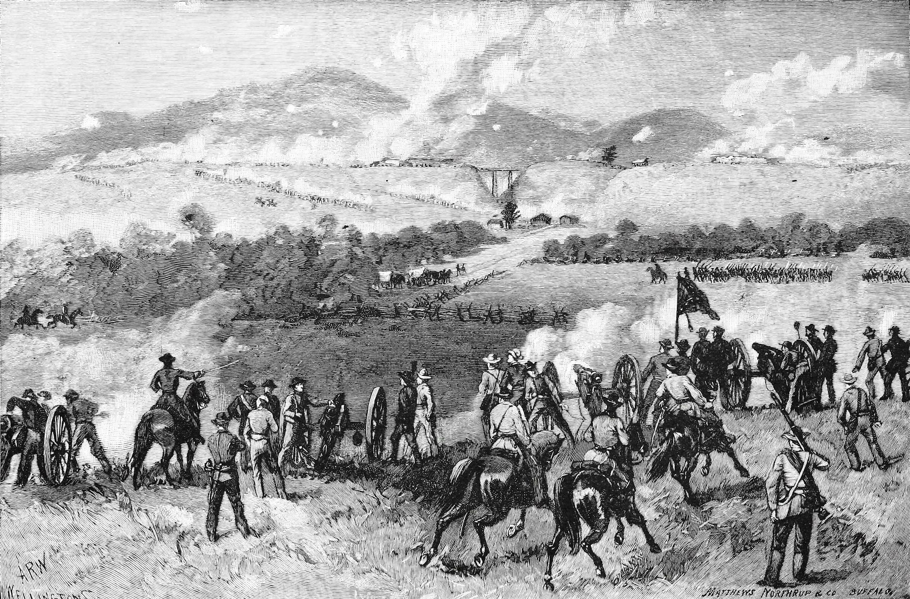
The Battle of Allatoona image. Click for full size.
Internet Archive
8. The Battle of Allatoona
from Robert Underwood Johnson & Clarence Clough Buell Battles and Leaders of the Civil War, Vol. 4, 1887.
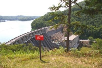
The Allatoona Dam and Power House image. Click for full size.
Photographed By David Seibert, August 13, 2009
9. The Allatoona Dam and Power House
The view from the marker. The dam was begun in 1941 by the Corps of Engineers, and completed in 1947. It went into full operation in 1950.
 
 
Credits. This page was last revised on December 31, 2018. It was originally submitted on August 22, 2009, by David Seibert of Sandy Springs, Georgia. This page has been viewed 2,110 times since then and 27 times this year. Photos:   1, 2, 3, 4, 5. submitted on August 22, 2009, by David Seibert of Sandy Springs, Georgia.   6, 7, 8. submitted on December 29, 2018, by Allen C. Browne of Silver Spring, Maryland.   9. submitted on August 22, 2009, by David Seibert of Sandy Springs, Georgia. • Craig Swain was the editor who published this page.
Share this page.  
Share on Tumblr
m=21843

CeraNet Cloud Computing sponsors the Historical Marker Database.
This website earns income from purchases you make after using our links to Amazon.com. We appreciate your support.
Paid Advertisement
Apr. 26, 2024