Leesburg in Loudoun County, Virginia — The American South (Mid-Atlantic)
The Battle at Ballís Bluff
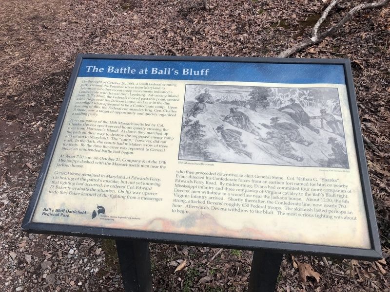
On the night of October 20, 1861, a small Federal scouting party crossed the Potomac River from Maryland to determine whether recent troop movements indicated a Confederate withdrawal from Leesburg. Advancing inland from Ballís Bluff, the Federals moved past this point, crested a low ridge near the Jackson house, and saw in the dim moonlight what appeared to be a Confederate Camp. Upon learning of this, the Federal commander, Brig. Gen. Charles P. Stone, saw a target of opportunity and quickly organized a raiding party.
Five companies of the 15th Massachusetts led by Col. Charles Devens spent several hours quietly crossing the river from Harrisonís Island. At dawn they marched up the path on their way to destroy the supposed enemy camp and return to Maryland. The “camp,” however, did not exist. In the dark, the scouts had mistaken a row of trees for tents. By the time the error was reported to General Stone, an unintended battle had begun.
At 7:30 a.m. on October 21, Company K of the 17th Mississippi clashed with the Massachusetts men near the Jackson house.
General Stone remained in Maryland at Edwardís Ferry. On hearing of the patrolís mistake, but not yet knowing that fighting had occurred, he ordered Col. Edward D. Baker to evaluate the situation. On his way upriver to do this, Baker learned of the fighting from a messenger who then proceeded downriver to alert General Stone. Col. Nathan G. “Shanks” Evans directed his Confederate forces from an earthen fort named for him on nearby Edwards Ferry Road. By midmorning, Evans had committed four more companies of Mississippi infantry and three companies of Virginia cavalry to the Ballís Bluff fight. Devensí men withdrew to a wood line near the Jackson house. About 12:30, the 8th Virginia Infantry arrived. Shortly thereafter, the Confederate line, now nearly 700 strong, attacked Devensí roughly 650 Federal troops. The skirmish lasted perhaps an hour. Afterwards, Devens withdrew to the bluff. The most serious fighting was about to begin.
Erected by Ball's Bluff Regional Park/Northern Virginia Regional Park Authority.
Topics and series. This historical marker is listed in this topic list: War, US Civil. In addition, it is included in the Battlefield Trails - Civil War, and the NOVA Parks series lists. A significant historical date for this entry is October 20, 1866.
Location. 39° 7.842′ N, 77° 31.844′ W. Marker is in Leesburg, Virginia, in Loudoun County. Marker can be reached from Ballís Bluff Road, on the left when traveling east. Located on a gravel footpath extension of Ballís Bluff Road, inside Ballís Bluff Regional Park. Touch for map. Marker is in this post office area: Leesburg VA 20176, United States of America. Touch for directions.
Other nearby markers.
More about this marker. The marker displays a drawing depicting, “15th Massachusetts Scouts,” courtesy Kim Bernard Holien.
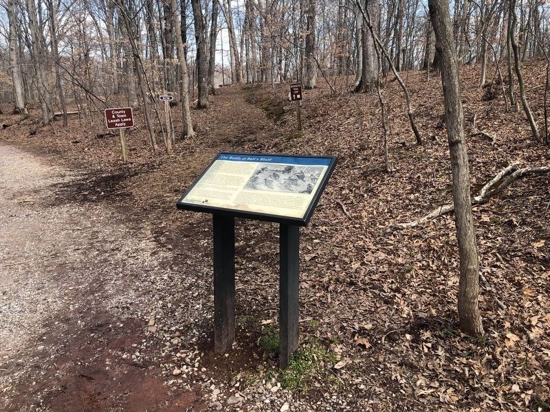
Regarding The Battle at Ballís Bluff. This marker is the "Trail Head" for the Balls Bluff walking trail through the park. The related markers list (below) offers a virtual tour of the battlefield and related sites, by way of historical markers.
Related marker. Click here for another marker that is related to this marker. This marker has replaced the linked marker.
Also see . . .
1. With Leesburg in Their Sights, Union Troops Caught by Surprise at Ball's Bluff. (Submitted on August 30, 2007, by Craig Swain of Leesburg, Virginia.)
2. Original Newspaper Account of the Battle. (Submitted on August 30, 2007, by Craig Swain of Leesburg, Virginia.)
Credits. This page was last revised on March 6, 2021. It was originally submitted on August 30, 2007. This page has been viewed 2,066 times since then and 28 times this year. Last updated on October 4, 2020, by Bradley Owen of Morgantown, West Virginia. Photos: 1, 2. submitted on March 6, 2021, by Devry Becker Jones of Washington, District of Columbia. 3. submitted on September 1, 2007, by Craig Swain of Leesburg, Virginia. • J. Makali Bruton was the editor who published this page.


