Peralta in Valencia County, New Mexico — The American Mountains (Southwest)
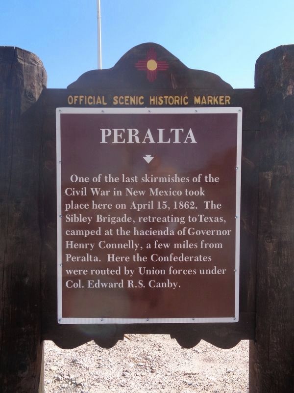
Peralta
Erected by New Mexico Historic Preservation Division.
Topics and series. This historical marker is listed in this topic list: War, US Civil. In addition, it is included in the El Camino Real de Tierra Adentro series list. A significant historical month for this entry is April 1777.
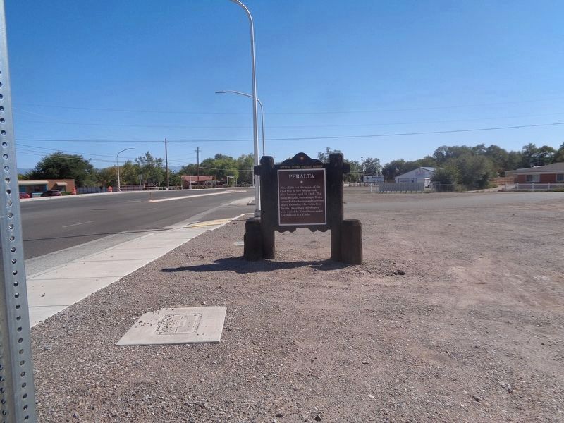
Location. 34° 50.24′ N, 106° 41.437′ W. Marker is in Peralta, New Mexico, in Valencia County. Marker is at the intersection of Peralta Boulevard and State Road 47, on the right when traveling north on Peralta Boulevard. Touch for map. Marker is at or near this postal address: 3675 NM-47, Los Lunas NM 87031, United States of America. Touch for directions.
Other nearby markers. At least 8 other markers are within 9 miles of this marker, measured as the crow flies. Valencia (approx. 2 miles away); Vásquez de Coronado's Route (approx. 2.6 miles away); The Luna Mansion (approx. 3.3 miles away); Atchison, Topeka, and Santa Fe Railroad Depot (approx. 4 miles away); Pueblo of Isleta (approx. 4.6 miles away); Pueblo of Isleta Tuei (approx. 5 miles away); Tomé (approx. 7 miles away); Los Padillas (approx. 8.3 miles away).
More about this marker. Unlike most NMHPD markers, this repeats on both sides.
Credits. This page was last revised on October 14, 2021. It was originally submitted on November 9, 2009, by Charles Rummel of Magdalena, New Mexico. This page has been viewed 1,851 times since then and 60 times this year. Photos: 1, 2. submitted on October 14, 2021, by Jason Voigt of Glen Carbon, Illinois. • Craig Swain was the editor who published this page.

