Winchester, Virginia — The American South (Mid-Atlantic)
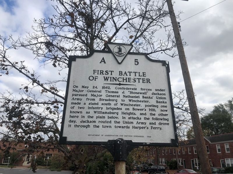
First Battle of Winchester
Erected 1988 by Department of Conservation and Historic Resources. (Marker Number A-5.)
Topics and series. This historical marker is listed in this topic list: War, US Civil. In addition, it is included in the Virginia Department of Historic Resources (DHR) series list. A significant historical month for this entry is May 1814.
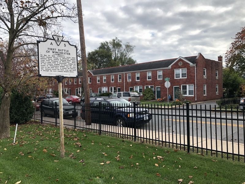
Location. 39° 10.51′ N, 78° 10.263′ W. Marker is in Winchester, Virginia. Marker is at the intersection of Valley Avenue (U.S. 11) and Jefferson Street, on the right when traveling north on Valley Avenue. Touch for map. Marker is in this post office area: Winchester VA 22601, United States of America. Touch for directions.
Other nearby markers. At least 10 other markers are within walking distance of this marker. Patsy Cline: Country Music Singer (approx. 0.4 miles away); Cannon Ball House (approx. half a mile away); James R. Wilkins, Sr. (approx. half a mile away); Peggy Wolfe McKee, Mary Bruce Glaize, Martha Wolfe (approx. half a mile away); George Washington (approx. half a mile away); Shawnee Springs Hospital (approx. half a mile away); Washington’s Office (approx. half a mile away); Cannon Used by George Washington (approx. half a mile away); Braddock Cannon (approx. half a mile away); Photos of Old Town Winchester (approx. half a mile away). Touch for a list and map of all markers in Winchester.
Also see . . . First Battle of Winchester. National Parks Service Summary of the Battle. (Submitted on September 18, 2007, by Craig Swain of Leesburg, Virginia.)

Photographed By Craig Swain, August 25, 2007
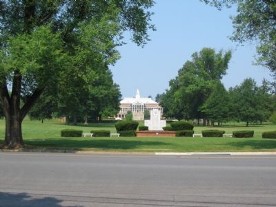
3. Handley High School Grounds
A brigade of Federals under Col. George Gordon were posted across the high ground behind what is today Handley High School. An artillery duel between supporting Federal batteries there and Confederate batteries to the south was broken when Gen. Jackson swung Taylor’s Brigade around to attack to Federal position from the west. The Federals fell back across what is now the open ground, and broke into a full rout when another Confederate brigade under Gen. Richard Ewell arrived on the east side of the Valley Turnpike (modern US Highway 11).
Credits. This page was last revised on July 14, 2021. It was originally submitted on September 18, 2007, by Craig Swain of Leesburg, Virginia. This page has been viewed 2,109 times since then and 40 times this year. Photos: 1, 2. submitted on November 2, 2020, by Devry Becker Jones of Washington, District of Columbia. 3. submitted on September 18, 2007, by Craig Swain of Leesburg, Virginia. • J. J. Prats was the editor who published this page.

