Near Winchester in Frederick County, Virginia — The American South (Mid-Atlantic)
Kernstown Battles
Around this site and a mile to the west occurred two major battles of the Civil War.
First Kernstown
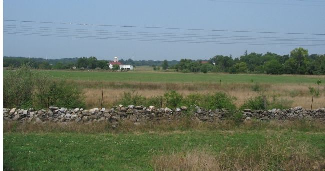
March 23, 1862 Stonewall Jackson attacked what appeared to be a withdrawing federal force led by federal Br. Gen. Shields. Desperate fighting along a stone wall west of here ended with the arrival of federal reinforcements and Jackson was forced to withdraw. This action opened Jackson’s famous Valley Campaign and succeeded in preventing the withdrawal of Federals from the Valley to reinforce an attack underway at Richmond.
Second Kernstown
July 23, 1864 – Federal General George Crooke’s corps was camped to the north of here after pursuing confederate Gen. Jubal Early’s force from its raid on Washington, D.C. Early attacked Crooke’s forward positions around Prichard’s Hill and Hogue Run. The federals withdrew in disorder after heavy fighting and Early followed up with raids on Martinsburg, W.Va. and Chambersburg, Pa. This battle opened the final phases of the 1864 Valley Campaign.
Erected 1991 by Winchester-Frederick Co. Historical Society.
Topics and series. This historical marker is listed in this topic list: War, US Civil. In addition, it is included in the Battlefield Trails - Civil War series list. A significant historical month for this entry is March 1862.
Location. 39° 8.403′ N, 78° 11.678′ W. Marker is near Winchester, Virginia, in Frederick County. Marker is on Opequon Church Lane, on the right when traveling west. Located in front of the Church in the north side parking lot. Touch for map. Marker is at or near this postal address: 217 Opequon Church Lane, Winchester VA 22602, United States of America. Touch for directions.
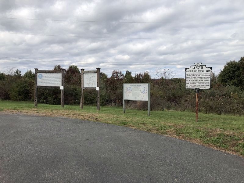
Other nearby markers. At least 10 other markers are within walking distance of this marker. Battle of Kernstown (here, next to this marker); a different marker also named Battle of Kernstown (here, next to this marker); a different marker also named Battle of Kernstown (a few steps from this marker); Opequon Presbyterian Church (within shouting distance of this marker); In Memory of William Hoge (1660 - 1749) and His Wife Barbara Hume Hoge (1670 - 1745) (within shouting distance of this marker); In Memory of the Many Soldiers of the Revolution
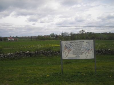
More about this marker. The marker displays maps of the two battles.
Regarding Kernstown Battles. The sites related to the First and Second Battles of Kernstown are well detailed on several historical markers in the area. Aside from the Virginia State markers, there are two separate sets which explain the actions at Pritchard's Hill and Rose Hill. These are linked on the Related Markers section below.
Related markers. Click here for a list of markers that are related to this marker. To better understand the relationship, study each marker in the order shown.
Credits. This page was last revised on July 7, 2021. It was originally submitted on September 21, 2007, by Craig Swain of Leesburg, Virginia. This page has been viewed 3,031 times since then and 36 times this year. Photos: 1, 2. submitted on November 2, 2020, by Devry Becker Jones of Washington, District of Columbia. 3. submitted on September 21, 2007, by Craig Swain of Leesburg, Virginia. 4. submitted on November 16, 2007, by Bill Coughlin of Woodland Park, New Jersey. 5. submitted on September 21, 2007, by Craig Swain of Leesburg, Virginia. • J. J. Prats was the editor who published this page.


