Neighborhood United for Action in Kansas City in Jackson County, Missouri — The American Midwest (Upper Plains)
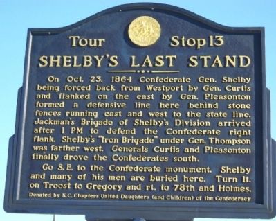
Shelby's Last Stand
On Oct. 23, 1864, Confederate Gen. Shelby being forced back from Westport by Gen. Curtis and flanked on the east by Gen. Pleasonton formed a defensive line here behind stone fences running east and west to the state line. Jackman's Brigade of Shelby's Division arrived after 1 P.M. To defend the Confederate right flank. Shelby's "Iron Brigade" under Gen. Thompson was farther west. Generals Curtis and Pleasonton finally drove the Confederates south.
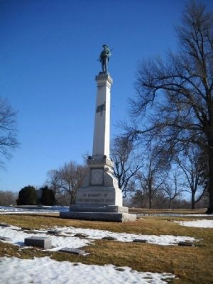
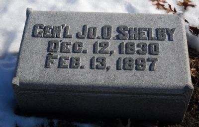
Go S.E. to the Confederate monument. Shelby and many of his men are buried here.
Erected by K.C. Chapters United Daughters (and Children) of the Confederacy. (Marker Number 13.)
Topics and series. This historical marker is listed in this topic list: War, US Civil. In addition, it is included in the Missouri – Battle of Westport, and the United Daughters of the Confederacy series lists. A significant historical year for this entry is 1864.
Location. 39° 0.159′ N, 94° 34.483′ W. Marker is in Kansas City, Missouri, in Jackson County. It is in Neighborhood United for Action. Marker can be reached from Troost Avenue, 0.2 miles 71st Street, on the right when traveling north. Touch for map. Marker is at or near this postal address: 6901 Troost Avenue, Kansas City MO 64131, United States of America. Touch for directions.
Other nearby markers. At least 8 other markers are within 2 miles of this marker , measured as the crow flies. Leroy Robert "Satchel" Paige (approx. ¼ mile away); Forest Hill Confederate Memorial (approx. 0.4 miles away); Waldo P. Johnson (approx. 0.4 miles away); Battle of the Big Blue (approx. 0.7 miles away); Harrisonville Road (Prospect) (approx. one mile away); Hinkle's Grove (approx. one mile away); Replica of the Statue of Liberty (approx. one mile away); Mockbee Farm (approx. 1.2 miles away). Touch for a list and map of all markers in Kansas City.
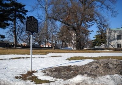
More about this marker. This marker is just inside the cemetery grounds on the left hand side. Turn right to go to the Confederate Memorial. This marker is accessable during daylight hours only.
Also see . . . Battle of Westport. Website with an expanded explanation of the action at this marker. (Submitted on January 20, 2010, by Thomas Onions of Olathe, Kansas.)
Credits. This page was last revised on February 10, 2023. It was originally submitted on January 20, 2010, by Thomas Onions of Olathe, Kansas. This page has been viewed 1,929 times since then and 50 times this year. Photos: 1, 2, 3, 4. submitted on January 20, 2010, by Thomas Onions of Olathe, Kansas. • Craig Swain was the editor who published this page.


