Gloucester Point in Gloucester County, Virginia — The American South (Mid-Atlantic)
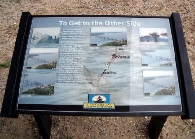
To Get to the Other Side
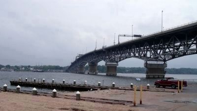
Until the middle of the Twentieth Century, ferries were the only method of making the transit. In 1952, the two lane Coleman Bridge was opened to traffic. When built, it was the longest double swing bridge (3,750 feet) in the world and is still the largest in the United States. A replacement bridge was built in Norfolk in 1995. It was barged to the site, put in place and made serviceable in just nine days. It was the first time a bridge of this size had been floated into place essentially ready for traffic.
Erected by Chesapeake Bay Gateways Network.
Topics. This historical marker is listed in these topic lists: Bridges & Viaducts • Colonial Era • Industry & Commerce • Waterways & Vessels. A significant historical year for this entry is 1952.
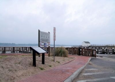
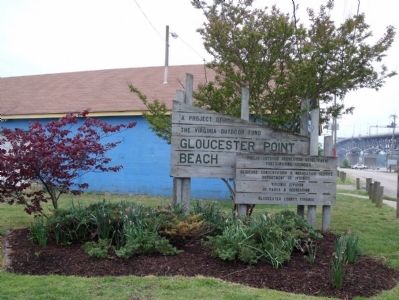
Location. 37° 14.741′ N, 76° 30.285′ W. Marker is in Gloucester Point, Virginia, in Gloucester County. Marker can be reached from the intersection of Greate Road (Route 1208) and Franklin Road. This marker is located in the Gloucester Point Beach parking area under the Coleman Bridge. Touch for map. Marker is in this post office area: Gloucester Point VA 23062, United States of America. Touch for directions.
Other nearby markers. At least 8 other markers are within walking distance of this marker. Port of Call (a few steps from this marker); Freedom is Won (within shouting distance of this marker); Virginia's First Shots in the Civil War (within shouting distance of this marker); Harvesting Nature's Bounty (within shouting distance of this marker); Mother Nature Comes Calling (about 400 feet away, measured in a direct line); Virginia Institute of Marine Science (about 400 feet away); a different marker also named Port of Call (approx. 0.2 miles away); Gloucester Point (approx. 0.3 miles away). Touch for a list and map of all markers in Gloucester Point.
More about this marker. Across the panel are a series of photographs of the York River crossing at Gloucester Point: The ferry landing in 1935; the early Coleman bridge in 1952-1995; construction of the replacement bridge in May 1995; and the current bridge in operation.
Also see . . . George P. Coleman Bridge. (Submitted on April 26, 2010.)
Credits. This page was last revised on November 5, 2021. It was originally submitted on April 26, 2010, by Bernard Fisher of Richmond, Virginia. This page has been viewed 723 times since then and 10 times this year. Photos: 1, 2, 3, 4. submitted on April 26, 2010, by Bernard Fisher of Richmond, Virginia.


