Pine Bluff in Jefferson County, Arkansas — The American South (West South Central)
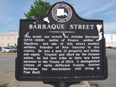
Barraque Street
Erected by Jefferson County History Commission.
Topics. This historical marker is listed in these topic lists: Native Americans • Settlements & Settlers • Wars, US Indian. A significant historical year for this entry is 1824.
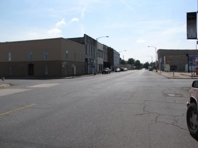
Location. 34° 13.773′ N, 92° 0.265′ W. Marker is in Pine Bluff, Arkansas, in Jefferson County. Marker is at the intersection of West Barraque Street and North Pine Street, on the right when traveling west on West Barraque Street. Touch for map. Marker is in this post office area: Pine Bluff AR 71601, United States of America. Touch for directions.
Other nearby markers. At least 8 other markers are within 4 miles of this marker, measured as the crow flies. Auguste La noir de Serville (within shouting distance of this marker); Joseph Bonne Cabin (within shouting distance of this marker); Battle of Pine Bluff (about 300 feet away, measured in a direct line); A Memorial to the War that United the North and South (about 400 feet away); Jefferson County First Court House (about 500 feet away); Boone-Murphy House / Union Strategy and Pine Bluff (approx. 0.4 miles away); Joseph Carter Corbin (approx. 1.2 miles away); Bayou Bartholomew (approx. 3.6 miles away). Touch for a list and map of all markers in Pine Bluff.
Credits. This page was last revised on October 29, 2019. It was originally submitted on May 10, 2010, by Lee Hattabaugh of Capshaw, Alabama. This page has been viewed 1,139 times since then and 37 times this year. Photos: 1, 2. submitted on May 10, 2010, by Lee Hattabaugh of Capshaw, Alabama. • Kevin W. was the editor who published this page.

