Queenstown in Queen Anne's County, Maryland — The American Northeast (Mid-Atlantic)
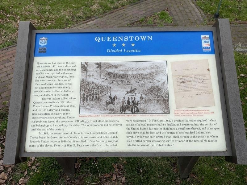
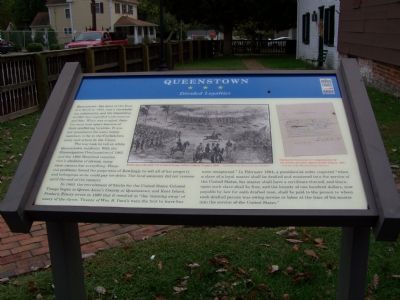
Queenstown
Divided Loyalties
The war took its toll on white Queenstown residents. With the Emancipation Proclamation of 1863 and the 1864 Maryland constitutions abolution of slavery, many slave owners lost everything. Financial problems forced the proprietor of Bowlingly to sell all of his property and belongings so he could pay his debts. The local economy did not recover until the end of the century.
In 1863, the recruitment of blacks for the United States Colored Troops began in Queen Anne’s County at Queenstown and Kent Island. Frederick Emory wrote in 1880 that it resulted in “the running away” of many of the slaves. Twenty of Wm. B. Paca’s were the first to leave but were recaptured.” In February 1864, a presidential order required “when a slave of a loyal master shall be drafted and mustered into the service of the United States, his master shall have a certificate thereof, and thereupon such slave shall be free and the bounty of one hundred dollars, now payable by law for each drafted man, shall be paid to the person to whom such drafted person was owing service or labor at the time of his muster into the service of the United States.”
Erected by Maryland Civil War Trails.
Topics and series. This historical marker is listed in these topic lists: Abolition & Underground RR • African Americans • War, US Civil. In addition, it is included in the Maryland Civil War Trails series list. A significant historical month for this entry is February 1864.
Location. 38° 59.428′ N, 76° 9.465′ W. Marker is in Queenstown, Maryland, in Queen Anne's County. Marker is at the intersection of Maryland Route 18 and Del Rhodes Avenue, on the left when traveling south on State Route 18. Touch for map. Marker is in this post office area: Queenstown MD 21658, United States of America. Touch for directions.
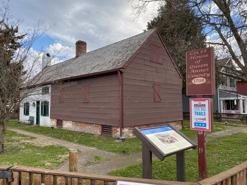
Other nearby markers. At least 8 other markers are within 2 miles of this marker, measured as the crow flies. Colonial Courthouse (here, next to this marker); Surprise at Queenstown (a few steps from this marker); War in the Chesapeake (a few steps from this marker); Bowlingly (about 500 feet away, measured in a direct line); a different marker also named Bowlingly (about 600 feet away); “Lord’s Gift” (approx. 0.4 miles away); St. Peter’s Church (approx. 1.6 miles away); Battle of Slippery Hill (approx. 1.8 miles away). Touch for a list and map of all markers in Queenstown.
Credits. This page was last revised on May 9, 2023. It was originally submitted on October 23, 2007, by Bill Pfingsten of Bel Air, Maryland. This page has been viewed 2,480 times since then and 88 times this year. Photos: 1. submitted on March 15, 2022, by Pete Skillman of Townsend, Delaware. 2. submitted on October 23, 2007, by Bill Pfingsten of Bel Air, Maryland. 3. submitted on March 15, 2022, by Pete Skillman of Townsend, Delaware. 4. submitted on April 26, 2023, by Bill Coughlin of Woodland Park, New Jersey. • J. J. Prats was the editor who published this page.


