Near Burley in Cassia County, Idaho — The American West (Mountains)
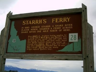
Starrh's Ferry
In 1880, George Starrh, a Snake River placer miner, started a ferry across Snake River one mile north of here.
From 1880-2, freighters hauling supplies for a mining rush to Wood River used Starrh's ferry (powered by river current when stiff winds were not blowing too hard), and local traffic lasted until Milner reservoir flooded out summer operations after 1904. But a small town with a post office (1909-12) remained there for more than a decade. During that time, nearby bridges replaced Starrh's ferry.
Erected by Idaho Historical Society. (Marker Number 28.)
Topics and series. This historical marker is listed in these topic lists: Roads & Vehicles • Waterways & Vessels. In addition, it is included in the Idaho State Historical Society series list. A significant historical year for this entry is 1880.
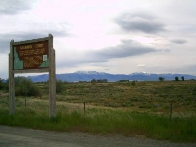
Location. 42° 31.985′ N, 113° 52.848′ W. Marker is near Burley, Idaho, in Cassia County. Marker is on U.S. 30 at milepost 253,, 0.2 miles east of West 7 South, on the left when traveling east. Touch for map. Marker is at or near this postal address: 440 W 7 S, Burley ID 83318, United States of America. Touch for directions.
Other nearby markers. At least 3 other markers are within 5 miles of this marker, measured as the crow flies. A different marker also named Starrh's Ferry (approx. 1˝ miles away); Milner Dam (approx. 4˝ miles away); Camp Rupert (approx. 5 miles away).
Credits. This page was last revised on May 7, 2024. It was originally submitted on June 7, 2010, by Rebecca Maxwell of Boise, Idaho. This page has been viewed 1,435 times since then and 87 times this year. Last updated on May 6, 2024, by Jeremy Snow of Cedar City, Utah. Photos: 1, 2. submitted on June 7, 2010, by Rebecca Maxwell of Boise, Idaho. • Devry Becker Jones was the editor who published this page.

