Hasbrouck Heights in Bergen County, New Jersey — The American Northeast (Mid-Atlantic)
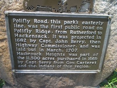
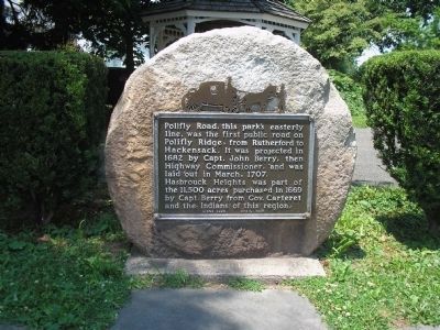
Polifly Road
Hasbrouck Heights was part of the 11,500 acres purchased in 1669 by Capt. Berry from Gov. Carteret and the Indians of this region.
Erected 1937 by Lions Club.
Topics. This historical marker is listed in these topic lists: Colonial Era • Roads & Vehicles. A significant historical month for this entry is March 1707.
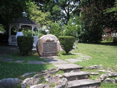
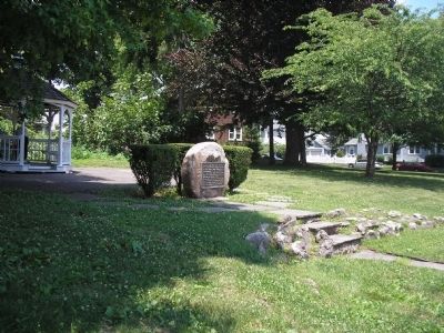
Location. 40° 51.151′ N, 74° 4.667′ W. Marker is in Hasbrouck Heights, New Jersey, in Bergen County. Marker is at the intersection of Terrace Avenue and Main Street, on the right when traveling south on Terrace Avenue. Touch for map. Marker is in this post office area: Hasbrouck Heights NJ 07604, United States of America. Touch for directions.
Other nearby markers. At least 8 other markers are within 2 miles of this marker, measured as the crow flies. Roll of Honor (approx. 0.2 miles away); Honor Roll World War (approx. 0.4 miles away); Veterans Walk of Freedom (approx. 0.4 miles away); Wood-Ridge Veterans Monument (approx. 0.4 miles away); Brinkerhoff House (approx. 0.4 miles away); Teterboro Airport (approx. ¾ mile away); Clinton and Gore (approx. 1.2 miles away); General Casimir Pulaski (approx. 1.7 miles away).
Credits. This page was last revised on June 16, 2016. It was originally submitted on June 19, 2010, by Bill Coughlin of Woodland Park, New Jersey. This page has been viewed 1,244 times since then and 85 times this year. Photos: 1, 2, 3, 4. submitted on June 19, 2010, by Bill Coughlin of Woodland Park, New Jersey.


