Menomonee Falls in Waukesha County, Wisconsin — The American Midwest (Great Lakes)
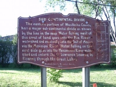
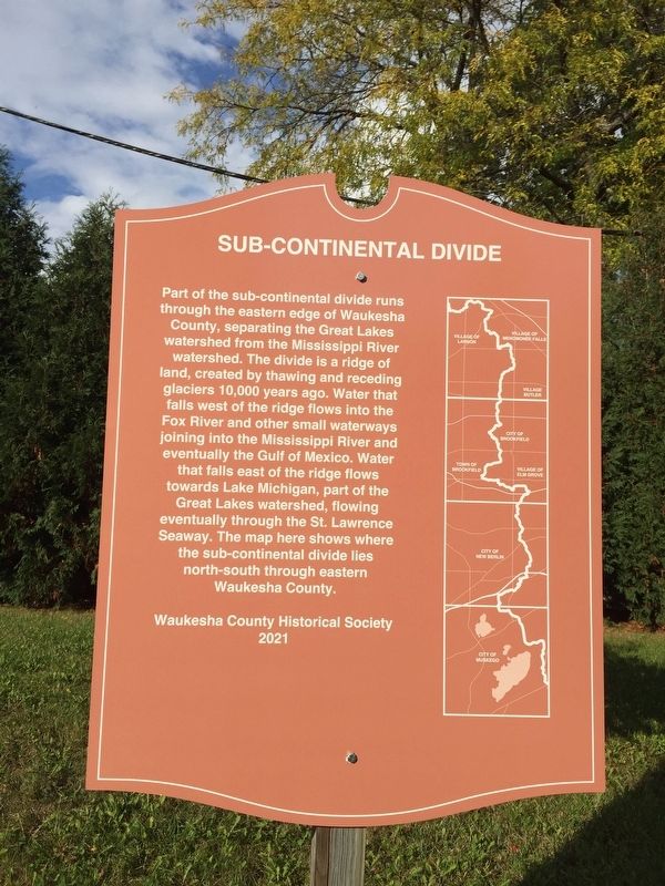
Sub-Continental Divide
Erected 1959 by Waukesha County Historical Society. (Marker Number 15-01.)
Topics. This historical marker is listed in this topic list: Natural Features.
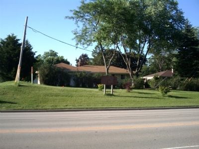
Location. 43° 10.499′ N, 88° 8.185′ W. Marker is in Menomonee Falls, Wisconsin, in Waukesha County. Marker is at the intersection of Main Street (State Highway 74) and Westchester Drive, on the right when traveling west on Main Street. Touch for map. Marker is in this post office area: Menomonee Falls WI 53051, United States of America. Touch for directions.
Other nearby markers. At least 8 other markers are within 2 miles of this marker, measured as the crow flies. Frederick Nehs Mill and Mill Dam (approx. 1.1 miles away); Mill Pond Park (approx. 1.1 miles away); Menomonee River and Lower Falls (approx. 1.2 miles away); Third Street Bridge (approx. 1.2 miles away); Brogan Cabin (approx. 1.9 miles away); Koch House (approx. 1.9 miles away); Steichen House (approx. 1.9 miles away); Sunnyside School Bell Tower Replica (approx. 1.9 miles away). Touch for a list and map of all markers in Menomonee Falls.

Photographed By Paul F, June 22, 2010
2. Original Sub-Continental Divide Marker
The original 1959 marker had the following text:
The eastern portion of Waukesha County has a major sub-continental divide as shown by the line in the map. Water falling west of this crest of land goes into the Fox River watershed and eventually into the Gulf of Mexico via the Mississippi River. Water falling on the east side goes into the Menomonee River watershed and enters the St. Lawrence Seaway by flowing through the Great Lakes.
Credits. This page was last revised on October 27, 2021. It was originally submitted on June 22, 2010, by Paul Fehrenbach of Germantown, Wisconsin. This page has been viewed 4,069 times since then and 251 times this year. Last updated on October 25, 2021, by Linda Hansen of Waukesha, Wisconsin. Photos: 1. submitted on October 25, 2021, by Linda Hansen of Waukesha, Wisconsin. 2, 3. submitted on June 22, 2010, by Paul Fehrenbach of Germantown, Wisconsin. • J. Makali Bruton was the editor who published this page.

