Near Decatur in Macon County, Illinois — The American Midwest (Great Lakes)
Lorton's Trading Post
1816 - - 1826
Inscription.
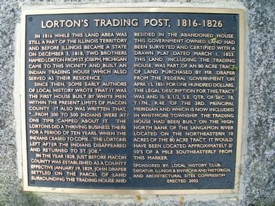
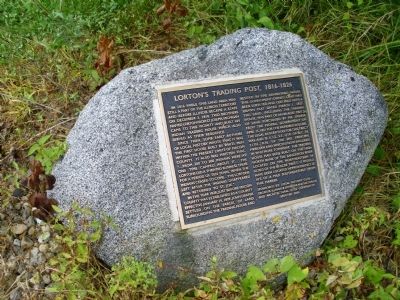
In 1816 while this land area was still a part of the Illinois Territory and before Illinois became a state on December 3, 1818, two brothers named Lorton from St. Joseph, Michigan came to this vicinity and built an Indian trading house which also served as their residence.
Since then, some early authors of local history wrote that it was the first house built by white men within the present limits of Macon County. It also was written that, “...from 200 to 500 Indians were at one time camped about it. The Lortons did a thriving business there for a period of ten years, when the Indians ceased to come... The Lortons left after the Indians disappeared and returned to St. Joe.”
In the year 1828, just before Macon County was established as a county effective January 19, 1829, John Draper settled on the parcel of land surrounding the trading house and resided in the abandoned house. This government owned land had been surveyed and certified with a drawn plat dated March 1, 1823. This land, including the Trading House, was part of an 80 acre tract of land purchased by Mr. Draper from the Federal government on April 15, 1831 for one hundred dollars.
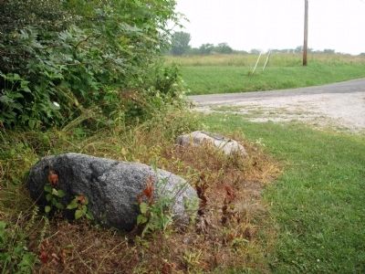
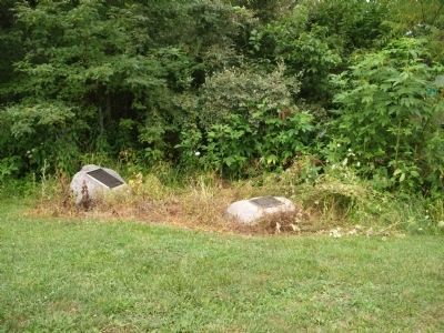
The legal description for this tract was and is: E.½, S.E. Qtr. of Sec.18, T.17N., R.4E. of the 3rd. Principal Meridian and which is now included in Whitmore Township. The Trading House had been built on the high North bank of the Sangamon River located on the northeastern 10 acres of the 80 acre tract. It would have been located approximately 2/10's of a mile southeasterly from this marker.
Erected 2002 by Local History Club-Decatur, Illinois & Environs, and Historical & Architectural Sites Commission.
Topics. This historical marker is listed in these topic lists: Native Americans • Notable Buildings • Notable Events • Notable Places • Settlements & Settlers. A significant historical date for this entry is January 19, 1933.
Location. 39° 55.865′ N, 88° 47.291′ W. Marker is near Decatur, Illinois, in Macon County. Marker is at the intersection of Dunbar Road and Caleb Road, on the left when traveling south on Dunbar Road. Touch for map. Marker is in this post office area: Decatur IL 62521, United States of America. Touch for directions.
Other nearby markers. At least 8 other markers are within 11 miles of this marker, measured as the crow flies. Potawatomi Trail of Death (here, next to this marker); Stephen Decatur (approx. 10.6 miles away); Music Please, Maestro (approx. 10.7 miles away); The Transfer House (approx. 10.7 miles away); Lincoln's Legacy (approx. 10.7 miles away); Birthplace of the Grand Army of the Republic (approx. 10.7 miles away);
The Railsplitter Candidate (approx. 10.8 miles away); Finding the Biggest Man (approx. 10.8 miles away). Touch for a list and map of all markers in Decatur.
Additional commentary.
1. More information about the fate of Lorton's Trading post
From: “The American Aerial County History Series, No. 1, Macon County, Illinois, John Drury, 1954”
An Indian Trading Post
While there were still Kickapoos in the region out of which Macon
County was formed, and even before Illinois became a state, two brothers named Lorton came down from St. Joe, Michigan, and established an Indian trading post on the Sangamon River, near Friend's Creek. This was about 1816. No longer in existence, the Lorton cabin was the first building to be erected by white men in the area that became Macon County. After trading with the Indians for some ten years, exchanging blankets, ammunition and rum for pelts of mink, raccoon and possum, the Lorton brothers closed up shop and disappeared from the annals of Macon County history. For by that time most of the Kickapoos of central Illinois had moved to Kansas, and, later, to Texas. In the meantime, the old Lorton
log cabin remained standing in what became Whitmore Township and was occupied for a time by John Draper, first settler of the township. It was still standing in the middle 1850's, at which time it was serving as a township polling place. At some later date, it finally disappeared.
— Submitted February 19, 2015, by J. Makali Bruton of Accra, Ghana.
Credits. This page was last revised on June 16, 2016. It was originally submitted on July 20, 2010, by Al Wolf of Veedersburg, Indiana. This page has been viewed 1,328 times since then and 38 times this year. Photos: 1, 2, 3, 4, 5, 6. submitted on July 20, 2010, by Al Wolf of Veedersburg, Indiana. • Bill Pfingsten was the editor who published this page.
Editor’s want-list for this marker. Photo of house if it still exist or historic photo of building. • Can you help?
