Huntington Woods in Oakland County, Michigan — The American Midwest (Great Lakes)
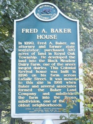
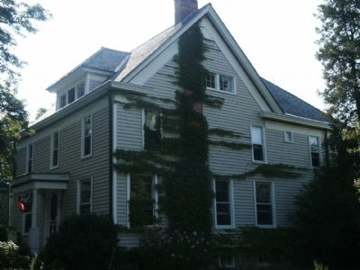
Fred A. Baker House
Erected 1990 by Bureau of History, Michigan Department of State. (Marker Number L1360.)
Topics and series. This historical marker is listed in these topic lists: Agriculture • Settlements & Settlers. In addition, it is included in the Michigan Historical Commission series list. A significant historical year for this entry is 1890.
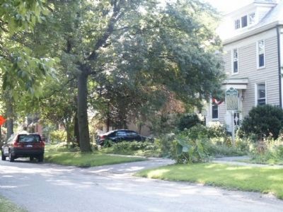
Location. 42° 29.241′ N, 83° 10.129′ W. Marker is in Huntington Woods, Michigan, in Oakland County. Marker is on LaSalle Boulevard east of Newport Boulevard, on the right when traveling east. This marker is between Newport Boulevard and Meadowcrest Boulevard. It is 2 blocks south of West Eleven Mile Road and about ½ mile west of Woodward Avenue (State Highway 1). Touch for map. Marker is at or near this postal address: 10505 LaSalle Boulevard, Huntington Woods MI 48070, United States of America. Touch for directions.
Other nearby markers. At least 8 other markers are within 2 miles of this marker, measured as the crow flies. Polar Bears (approx. 0.8 miles away); Rackham Golf Course (approx. 0.8 miles away); Royal Oak Woman's Club (approx. 0.9 miles away); Howard & Howard (approx. 1.1 miles away); Royal Oak Methodist Episcopal Church (approx. 1.1 miles away); Royal Oak Post Office Tragedy (approx. 1.2 miles away); How Royal Oak Got Its Name (approx. 1.2 miles away); Detroit Zoological Park (approx. 1.2 miles away). Touch for a list and map of all markers in Huntington Woods.
Credits. This page was last revised on October 19, 2023. It was originally submitted on August 10, 2010, by Joel Seewald of Madison Heights, Michigan. This page has been viewed 1,511 times since then and 45 times this year. Photos: 1, 2, 3. submitted on August 10, 2010, by Joel Seewald of Madison Heights, Michigan. • Bill Pfingsten was the editor who published this page.


