Chambersburg in Franklin County, Pennsylvania — The American Northeast (Mid-Atlantic)
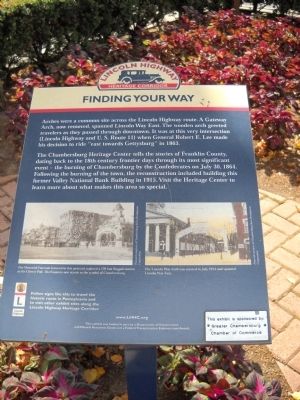
Finding Your Way
Lincoln Highway Heritage Corridor
Arches were a common site across the Lincoln Highway route. A Gateway Arch, now removed, spanned Lincoln Way East. The wooden arch greeted travelers as they passed through downtown. It was at this very intersection (Lincoln Highway and U. S. Route 11) when General Robert E. Lee made his decision to ride “east towards Gettysburg” in 1863.
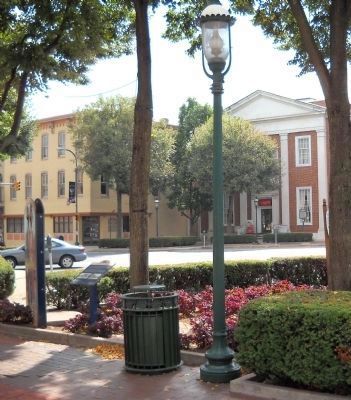
The Chambersburg Heritage Center tells the stories of Franklin County, dating back to the 18th century frontier days through its most significant event – the burning of Chambersburg by the Confederates on July 30, 1864. Following the burning of the town, the reconstruction included building this former Valley National Bank Building in 1915. Visit the Heritage Center to learn more about what makes this area so special.
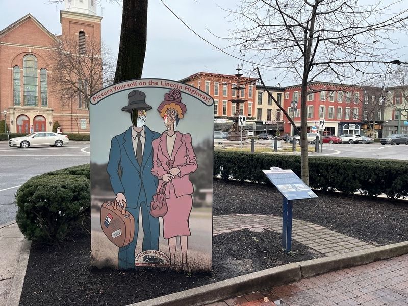
Follow signs like this to travel the historic route in Pennsylvania and to visit other exhibits along the Lincoln Highway Heritage Corridor.
Topics and series. This historical marker is listed in these topic lists: Roads & Vehicles • War, US Civil. In addition, it is included in the Lincoln Highway series list. A significant historical month for this entry is July 1857.
Location. 39° 56.249′ N, 77° 39.666′ W. Marker is in Chambersburg, Pennsylvania, in Franklin County. Marker is on Lincoln Way East (U.S. 30) near Philadelphia Avenue (U.S. 11), on the left when traveling west. Touch for map. Marker is at or near this postal address: 100 Lincoln Way E, Chambersburg PA 17201, United States of America. Touch for directions.
Other nearby markers. At least 8 other markers are within walking distance of this marker. Chambersburg Founded A.D. 1764 (a few steps from this marker); War Between the States (a few steps from this marker); French & Indian War – Revolutionary War – War of 1812 (a few steps from this marker); Union Soldiers of Franklin County (a few steps from this marker); Mexican War – Spanish American War – World War (a few steps from this marker); U.S.S. Maine Memorial (a few steps from this marker); The Burning of Chambersburg (a few steps from this marker); Abolitionist John Brown Boards in Chambersburg (a few steps from this marker). Touch for a list and map of all markers in Chambersburg.
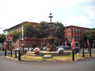
More about this marker. Two old postcards, courtesy of Chambersburg Area Development Corporation, appear at the bottom of the marker. The first has a caption of “The Memorial Fountain featured in this postcard replaced a 120 foot flagpole known as the Liberty Pole. The Fountain now stands as the symbol of Chambersburg.” The other postcard has the caption “The Lincoln Way Arch was erected in July 1914 and spanned Lincoln Way East.”
Also see . . . Lincoln Highway Heritage Corridor website.
Credits. This page was last revised on March 1, 2024. It was originally submitted on September 1, 2010, by Bill Coughlin of Woodland Park, New Jersey. This page has been viewed 1,038 times since then and 35 times this year. Photos: 1. submitted on September 1, 2010, by Bill Coughlin of Woodland Park, New Jersey. 2. submitted on March 1, 2024, by Devry Becker Jones of Washington, District of Columbia. 3, 4, 5. submitted on September 1, 2010, by Bill Coughlin of Woodland Park, New Jersey.


