Salisbury in Rowan County, North Carolina — The American South (South Atlantic)
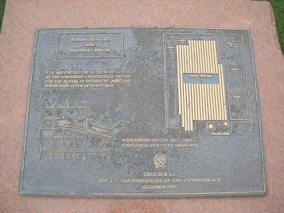
Burial Trenches and Salisbury Prison
Erected 1992 by United Daughters of the Confederacy.
Topics and series. This historical marker is listed in these topic lists: Cemeteries & Burial Sites • War, US Civil. In addition, it is included in the National Cemeteries, and the United Daughters of the Confederacy series lists. A significant historical date for this entry is October 18, 1864.
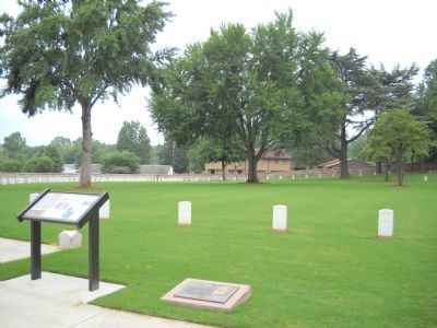
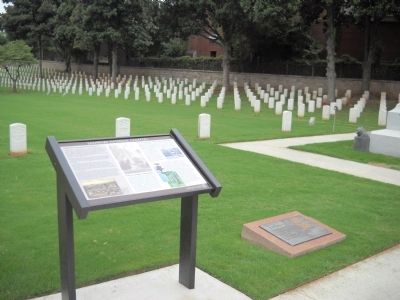
Location. 35° 39.556′ N, 80° 28.496′ W. Marker is in Salisbury, North Carolina, in Rowan County. Marker is on Government Road when traveling south. Marker is located in Salisbury National Cemetery, at the end of Government Road. Touch for map. Marker is in this post office area: Salisbury NC 28144, United States of America. Touch for directions.
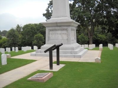
Other nearby markers. At least 8 other markers are within walking distance of this marker. Salisbury National Cemetery (here, next to this marker); Unknown Soldiers Monument (here, next to this marker); Maine (a few steps from this marker); Pennsylvania Monument (about 500 feet away, measured in a direct line); Livingstone College (approx. 0.3 miles away); C.S. Military Prison (approx. 0.4 miles away); City of Salisbury (approx. half a mile away); “Christian Reid” (approx. half a mile away). Touch for a list and map of all markers in Salisbury.
More about this marker. The marker contains a map of the area indicating the locations of the Salisbury Prison 1861-1865 and the National Cemetery trenches. Also present is a layout of the Salisbury National Cemetery showing the location of the different plots and the site of the marker and the burial trenches.
Credits. This page was last revised on September 12, 2022. It was originally submitted on September 3, 2010, by Bill Coughlin of Woodland Park, New Jersey. This page has been viewed 1,242 times since then and 25 times this year. Photos: 1, 2, 3, 4. submitted on September 3, 2010, by Bill Coughlin of Woodland Park, New Jersey.


