Prairie Grove in Washington County, Arkansas — The American South (West South Central)
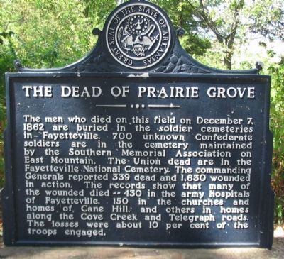
The Dead of Prairie Grove
Erected by State of Arkansas.
Topics. This historical marker is listed in these topic lists: Cemeteries & Burial Sites • War, US Civil. A significant historical month for this entry is December 1836.
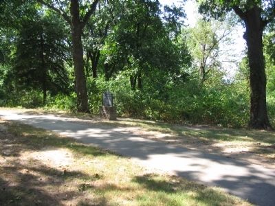
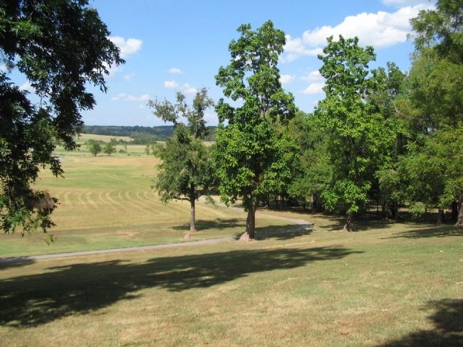
Location. 35° 59.125′ N, 94° 18.311′ W. Marker is in Prairie Grove, Arkansas, in Washington County. Marker can be reached from Park Tour Road, on the right when traveling east. Located on the walking trail at stop four, the Borden House, of Prairie Grove Battlefield State Park. Touch for map. Marker is in this post office area: Prairie Grove AR 72753, United States of America. Touch for directions.
Other nearby markers. At least 8 other markers are within walking distance of this marker. Herron's Attack (within shouting distance of this marker); Blocher's Arkansas Battery (within shouting distance of this marker); Archibald Borden House (within shouting distance of this marker); Lieutenant Colonel John C. Black (within shouting distance of this marker); The Borden House / The Legacy of Prairie Grove (within shouting distance of this marker); 29th Arkansas Infantry (about 300 feet away, measured in a direct line); 26th Indiana and 37th Illinois Infantry (about 300 feet away); The Lord's Vineyard (approx. ¼ mile away). Touch for a list and map of all markers in Prairie Grove.
Also see . . .
1. Prairie Grove Battlefield State Park. (Submitted on September 7, 2010, by Craig Swain of Leesburg, Virginia.)
2. Fayetteville National Cemetery. Opened a few years after the war, by 1871 over 1,200 internments were made in the cemetery. Many of those were unknown soldiers. (Submitted on September 7, 2010, by Craig Swain of Leesburg, Virginia.)
Credits. This page was last revised on September 9, 2020. It was originally submitted on September 7, 2010, by Craig Swain of Leesburg, Virginia. This page has been viewed 1,316 times since then and 37 times this year. Photos: 1, 2, 3. submitted on September 7, 2010, by Craig Swain of Leesburg, Virginia.


