Carlisle in Cumberland County, Pennsylvania — The American Northeast (Mid-Atlantic)
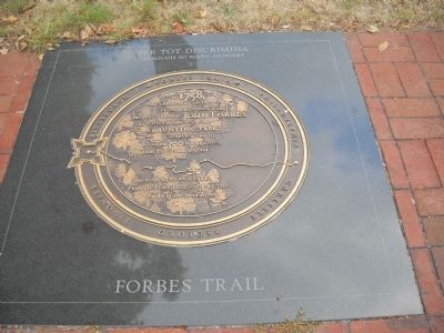
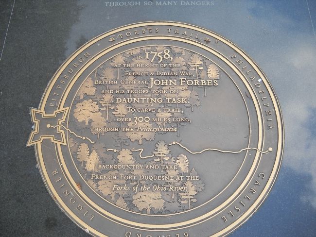
Forbes Trail
Through so many dangers
In 1758, at the height of the French & Indian War, British General John Forbes and his troops took on a daunting task:
To carve a trail, over 300 miles long, through the Pennsylvania backcountry and take French Fort Duquesne at the Forks of the Ohio River.
Forbes Trail • Philadelphia • Carlisle • Bedford • Ligonier • Pittsburgh
Topics. This historical marker is listed in these topic lists: Roads & Vehicles • War, French and Indian. A significant historical year for this entry is 1758.
Location. 40° 12.076′ N, 77° 11.358′ W. Marker is in Carlisle, Pennsylvania, in Cumberland County. Marker is at the intersection of Hanover Street (Pennsylvania Route 34) and High Street (U.S. 11), on the left when traveling north on Hanover Street. Touch for map. Marker is in this post office area: Carlisle PA 17013, United States of America. Touch for directions.
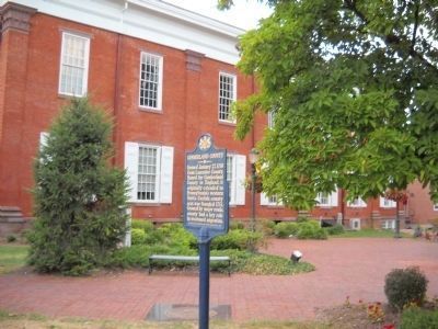
Other nearby markers. At least 8 other markers are within walking distance of this marker. Cumberland County (here, next to this marker); The Shelling of Carlisle (here, next to this marker); Historic Downtown Carlisle (here, next to this marker); Historical Directory of Carlisle (here, next to this marker); Veterans Memorial Courtyard (a few steps from this marker); China Burma India Veteran's Memorial (a few steps from this marker); Carlisle Public Square (a few steps from this marker); Medal of Honor Recipients (a few steps from this marker). Touch for a list and map of all markers in Carlisle.
Credits. This page was last revised on January 16, 2022. It was originally submitted on September 10, 2010, by Bill Coughlin of Woodland Park, New Jersey. This page has been viewed 1,162 times since then and 38 times this year. Photos: 1, 2, 3. submitted on September 10, 2010, by Bill Coughlin of Woodland Park, New Jersey.


