Pineville in Bell County, Kentucky — The American South (East South Central)
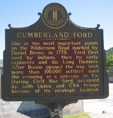
Cumberland Ford
One of the most important points on the Wilderness Road marked by Daniel Boone in 1775. Ford first used by Indians, then by early explorers and the Long Hunters. After Boone opened the way west, more than 100,000 settlers used the crossing as a gateway to Ky. During the Civil War ford occupied by both Union and CSA troops because of its strategic location.
Erected 1971 by Kentucky Historical Society and Kentucky Department of Highways. (Marker Number 1426.)
Topics and series. This historical marker is listed in these topic lists: Exploration • Native Americans • Settlements & Settlers • War, US Civil. In addition, it is included in the Kentucky Historical Society series list. A significant historical year for this entry is 1775.
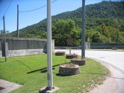
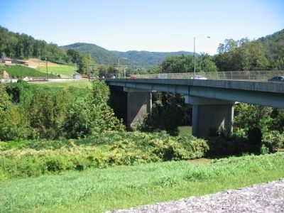
Location. 36° 45.819′ N, 83° 41.623′ W. Marker is in Pineville, Kentucky, in Bell County. Marker is at the intersection of Bob Madon Bypass (U.S. 25E) and Pine Street (State Highway 66), on the right when traveling west on Bob Madon Bypass. Touch for map. Marker is in this post office area: Pineville KY 40977, United States of America. Touch for directions.
Other nearby markers. At least 8 other markers are within 2 miles of this marker, measured as the crow flies. Daniel Boone's Trail (approx. 0.2 miles away); Mountain Gateway (approx. 0.2 miles away); Bell County War Dead Memorial (approx. 0.2 miles away); Joshua Fry Bell (approx. 0.2 miles away); The Wilderness Road (approx. half a mile away); Wallsend Mine (approx. 0.7 miles away); Chained Rock (approx. ¾ mile away); Wilderness Road Cemetery (approx. 1.4 miles away). Touch for a list and map of all markers in Pineville.
Credits. This page was last revised on June 3, 2021. It was originally submitted on September 17, 2010, by Craig Swain of Leesburg, Virginia. This page has been viewed 2,310 times since then and 87 times this year. Photos: 1, 2, 3. submitted on September 17, 2010, by Craig Swain of Leesburg, Virginia.


