Near Comstock in Val Verde County, Texas — The American South (West South Central)
Railroad Bridges Over the Pecos
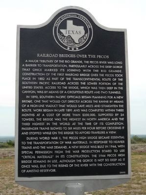
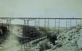
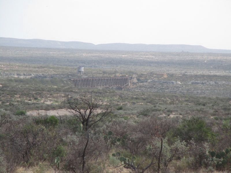
A major tributary of the Rio Grande, the Pecos River was long a barrier to transportation, particularly across the deep gorge that once marked its joining with the Rio Grande. Construction of the first railroad bridge over the Pecos took place in 1882 as part of the transcontinental route of the Southern Pacific Railroad across the lower portion of the United States. Access to the bridge, which was then deep in the canyon, was by means of a circuitous route and two tunnels.
In 1890, Southern Pacific officials began planning for a new bridge, one that would cut directly across the ravine by means of a high-line viaduct that would save miles and straighten the route. Work began in late 1891 and was completed within three months at a cost of more than $250,000. Supported by 24 towers, the bridge was the highest in North America and the third highest in the world at the time of its completion. Passenger trains slowed to six miles per hour before crossing it and stopped while on the bridge to afford travelers a view.
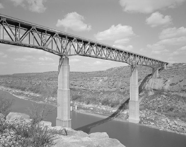
During World War II, the Pecos High Bridge became essential to the transportation of war materials. In response to heavier trains and the war demand, a new bridge was built in 1944, with special permission from the War Production Board to use "critical materials" in its construction. The 1944 Pecos High Bridge remains in use, although the gorge is not so deep as it once was, due to the rising of the river with the construction of Amistad Reservoir. (2002)
Erected 2002 by Texas Historical Commission. (Marker Number 12798.)
Topics and series. This historical marker is listed in these topic lists: Bridges & Viaducts • Railroads & Streetcars • Waterways & Vessels. In addition, it is included in the Southern Pacific Railroad series list. A significant historical year for this entry is 1882.
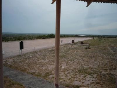
Location. 29° 46.001′ N, 101° 23.181′ W. Marker is near Comstock, Texas, in Val Verde County. Marker is on U.S. 90 west of the Pecos River. Marker is in a roadside turn-off approximately 4.5 miles northwest of the Pecos River High Bridge. Touch for map. Marker is in this post office area: Comstock TX 78837, United States of America. Touch for directions.
Other nearby markers. At least 8 other markers are within 11 miles of this marker, measured as the crow flies. Site of Vinegarroon (within shouting distance of this marker); Near Site, Southern Pacific Ceremony of Silver Spike (about 300 feet away, measured in a direct line); The Pecos River in Literature and Folklore (approx. 4.6 miles away); Pecos River High Bridge (approx. 4.6 miles away); Medal of Honor Fight, 1875 (approx. 4.6 miles away); Pecos High Bridge
(approx. 4.6 miles away); Fitzsimmons-Maher Prizefight (approx. 10˝ miles away); Eagle’s Nest (approx. 10˝ miles away). Touch for a list and map of all markers in Comstock.
More about this marker. Google Maps identifies the area as Del Rio Northwest, TX
Also see . . . "Pecos Viaduct" 1892 - Amistad N.R.A. (Submitted on October 4, 2010, by Richard E. Miller of Oxon Hill, Maryland.)
Additional keywords. Pecos Viaduct; Texas & Pacific Railroad; Amistad National Recreation Area.
Credits. This page was last revised on October 18, 2023. It was originally submitted on October 3, 2010, by Richard E. Miller of Oxon Hill, Maryland. This page has been viewed 2,059 times since then and 57 times this year. It was the Marker of the Week February 5, 2017. Photos: 1. submitted on October 3, 2010, by Richard E. Miller of Oxon Hill, Maryland. 2, 3, 4. submitted on October 4, 2010, by Richard E. Miller of Oxon Hill, Maryland. 5. submitted on October 17, 2023, by Jeff Leichsenring of Garland, Texas. • Bill Pfingsten was the editor who published this page.
