Rio Grande City in Starr County, Texas — The American South (West South Central)
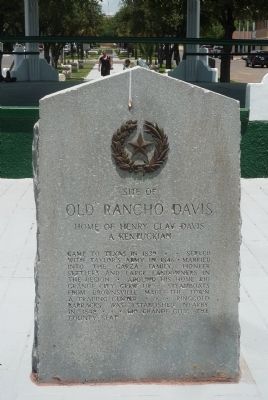
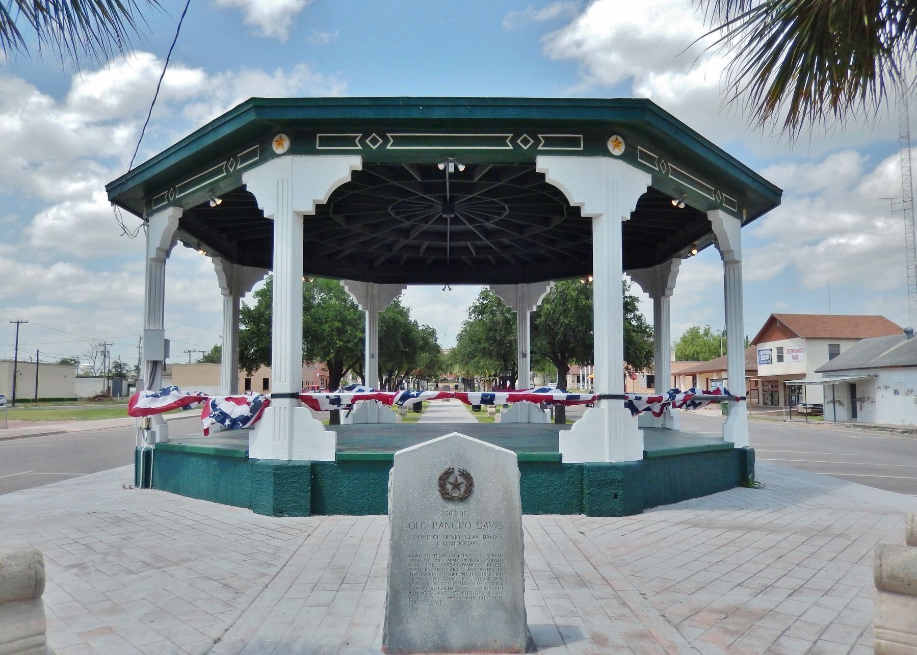
Site of Old Rancho Davis
Home of Henry Clay Davis, a Kentuckian
Came to Texas in 1839 * served with Taylor's army in 1846 * married into the Garza family, pioneer settlers and large landowners in the region * Around his home, Rio Grande City grew up * Steamboats from Brownsville made the town a trading center * Ringgold Barracks was established nearby in 1848 * Rio Grande City, the county seat
Erected 1936 by the State of Texas. (Marker Number 4180.)
Topics and series. This historical marker is listed in these topic lists: Hispanic Americans • Settlements & Settlers • War, Mexican-American • Waterways & Vessels. In addition, it is included in the Texas 1936 Centennial Markers and Monuments series list. A significant historical year for this entry is 1839.
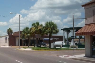
Location. 26° 22.751′ N, 98° 49.238′ W. Marker is in Rio Grande City, Texas, in Starr County. Marker is at the intersection of North Britton Avenue and East 1st / Main Street (U.S. 83), in the median on North Britton Avenue. Marker is at the south end of Main Plaza, midway between the city center and the Rio Grande River. Touch for map. Marker is at or near this postal address: North Britton Avenue, Rio Grande City TX 78582, United States of America. Touch for directions.
Other nearby markers. At least 8 other markers are within walking distance of this marker. Historic Rio Grande City (within shouting distance of this marker); Rio Grande City, C.S.A (within shouting distance of this marker); Site of Cortina Battle (within shouting distance of this marker); Starr County (within shouting distance of this marker); Mifflin Kenedy Warehouse (about 600 feet away, measured in a direct line); Immaculate Conception School (about 600 feet away); Gregorio Barrera (about 700 feet away); José de Escandón (approx. 0.2 miles away). Touch for a list and map of all markers in Rio Grande City.
Also see . . . Old Military Road. Rio Grande City to Brownsville (US 83) (Submitted on October 9, 2010, by Richard E. Miller of Oxon Hill, Maryland.)
Additional keywords. Carnestolendas Ranch; José Antonio de la Garza Falcón; Rio Bravo; Old Military Road.
Credits. This page was last revised on July 3, 2018. It was originally submitted on October 9, 2010, by Richard E. Miller of Oxon Hill, Maryland. This page has been viewed 1,344 times since then and 41 times this year. Photos: 1, 2. submitted on October 9, 2010, by Richard E. Miller of Oxon Hill, Maryland. 3. submitted on June 30, 2018, by Cosmos Mariner of Cape Canaveral, Florida. • Kevin W. was the editor who published this page.


