Near Leola in Grant County, Arkansas — The American South (West South Central)
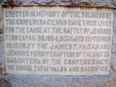
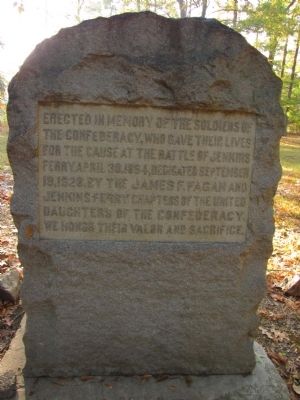
Battle of Jenkins' Ferry
Erected 1928 by United Daughters of the Confederacy - James F. Fagan and Jenkins' Ferry Chapters.
Topics and series. This historical marker is listed in this topic list: War, US Civil. In addition, it is included in the United Daughters of the Confederacy series list. A significant historical date for this entry is April 30, 1933.
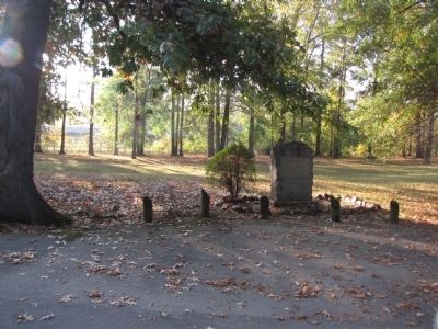
Location. 34° 12.737′ N, 92° 32.844′ W. Marker is near Leola, Arkansas, in Grant County. Marker can be reached from State Highway 46, 1.9 miles south of State Highway 291, on the right when traveling south. Monument located in Jenkins' Ferry State Park, on the left after you enter the park. Touch for map. Marker is in this post office area: Leola AR 72084, United States of America. Touch for directions.
Other nearby markers. At least 8 other markers are within 11 miles of this marker, measured as the crow flies. General Samuel Rice / Confederate Cannons Captured (within shouting distance of this marker); Jenkins Ferry / Pontoon Bridge (about 400 feet away, measured in a direct line); Red River Campaign (about 500 feet away); Refugee Children / Supplies Destroyed (approx. 1.9 miles away); Officers Killed / Union Wounded (approx. 3.1 miles away); Skirmish at Guesses Creek (approx. 5.9 miles away); Clash at Whitten's Mill (approx. 7.1 miles away); Grant County War Memorial (approx. 10.6 miles away). Touch for a list and map of all markers in Leola.
Also see . . . Jenkins' Ferry State Park. (Submitted on October 27, 2010, by Lee Hattabaugh of Capshaw, Alabama.)
Credits. This page was last revised on June 16, 2016. It was originally submitted on October 27, 2010, by Lee Hattabaugh of Capshaw, Alabama. This page has been viewed 2,136 times since then and 56 times this year. Photos: 1, 2, 3. submitted on October 27, 2010, by Lee Hattabaugh of Capshaw, Alabama. • Craig Swain was the editor who published this page.


