Rockville in Montgomery County, Maryland — The American Northeast (Mid-Atlantic)
Rockville Baptist Church and Cemetery
Lost Rockville - 1801 to 1850
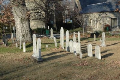
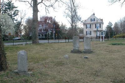
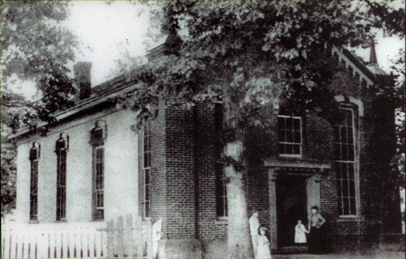
In 1823, the deacons of the Bethel Baptist Church church acquired a half-acre lot at this site to erect a church and provide a burial ground. The original church was replaced in 1864, but a half century later, the Baptists demolished it and built a larger church and a parsonage at the corner of South Washington and West Jefferson Streets. The cemetery remained and was enclosed with an iron fence. The church conveyed the cemetery to the Montgomery County Historical Society in 1973, and title was transferred to Peerless Rockville for caretaking in 1983. Peerless Rockville has added benches and a picket fence.
Gravestones in the cemetery date between 1839 and 1896. Late 19th century development of the West End and the opening of South Van Buren Street necessitated relocation of 16 graves to the Rockville Cemetery. Twenty-eight marble and sandstone grave markers remain.
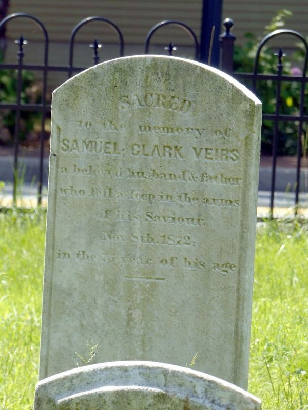
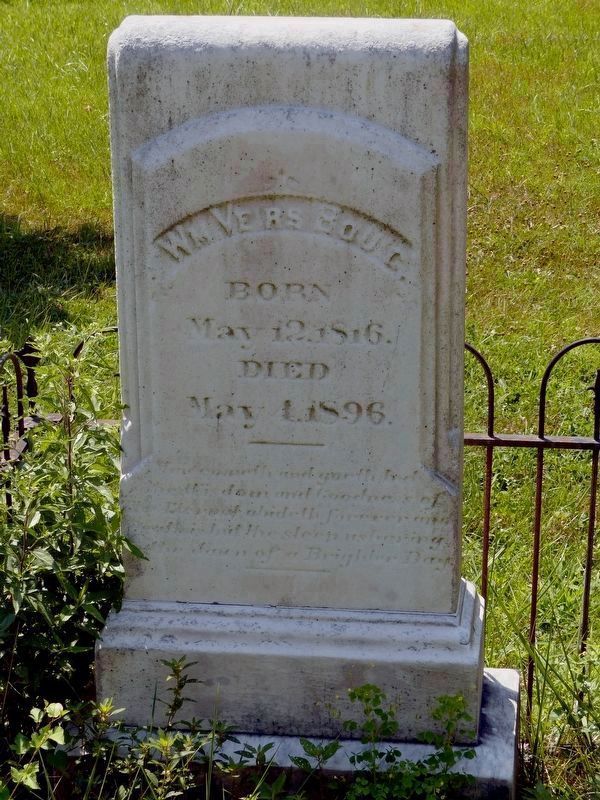
Several persons notable in Rockville's history are buried here. Samuel Clark Veirs was postmaster of Rockville and Chief Judge of the Orphan's Court. He also operated Veirs Mill. Veirs' son-in-law, William Veirs Bouic, Jr. was a judge, farmer, State's Attorney, president of Rockville's Board of Commissioners, organizer of the Montgomery County Agricultural Society, trustee of the Rockville Academy, and a director of the C & O Canal Company.
Erected 2001 by City of Rockville, Maryland, and the Rockville Historic District Commission.
Topics and series. This historical marker is listed in these topic lists: Cemeteries & Burial Sites • Churches & Religion. In addition, it is included in the Maryland, Lost Rockville – 1801 to 1850 series list. A significant historical year for this entry is 1823.
Location. This marker has been replaced by another marker nearby. It was located near 39° 5.006′ N, 77° 9.382′ W. Marker was in Rockville, Maryland, in Montgomery County. Marker was at the intersection of West Jefferson Street (Maryland Route 28) and West Montgomery Avenue, on the left when traveling east on West Jefferson Street. Also at this intersection is Great Falls Road (Maryland Route 189) and South Van Buren Street. Touch for map. Marker was in this post office area: Rockville MD 20850, United States of America. Touch for directions.
Other nearby markers. At least 8 other markers are within walking distance of this location. A different marker also named Rockville Baptist Church and Cemetery (a few steps from this marker); Prettyman House (within shouting distance of this marker); a different marker also named Prettyman House (within shouting distance of this marker); a different marker also named Prettyman House (within shouting distance of this marker); Rockville Academy (about 300 feet away, measured in a direct line); The Bell Tower Building (about 400 feet away); Dr. Stonestreet's Office (about 500 feet away); Stonestreet Medical Museum (about 500 feet away). Touch for a list and map of all markers in Rockville.
Regarding Rockville Baptist Church and Cemetery. The site of Samuel Clark Veirs' Veirs Mill has been marked with a historical marker, which can be found in this database.
Related marker. Click here for another marker that is related to this marker. This marker has replaced the linked marker.
Also see . . .
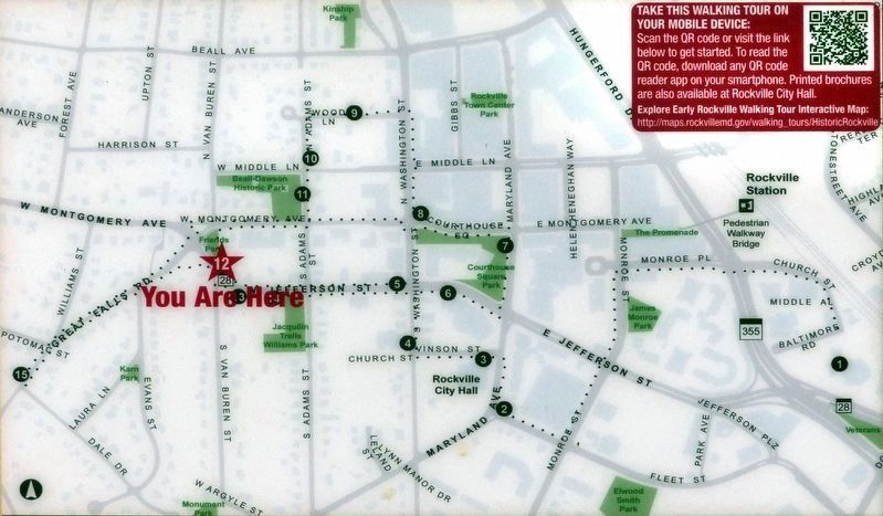
1. Early Rockville Walking Tour (online map). This is actually stop #13 on the online Walking Tour Map. (Submitted on August 20, 2019, by Allen C. Browne of Silver Spring, Maryland.)
2. Rockville History. City website entry:
Links to three walking tours (PDF) (Submitted on March 28, 2022, by Larry Gertner of New York, New York.)
Credits. This page was last revised on March 28, 2022. It was originally submitted on April 5, 2006, by Tom Fuchs of Greenbelt, Maryland. This page has been viewed 2,196 times since then and 12 times this year. Last updated on November 5, 2010, by Timothy Carr of Birmingham, Alabama. Photos: 1, 2, 3, 4. submitted on April 5, 2006, by Tom Fuchs of Greenbelt, Maryland. 5, 6. submitted on August 20, 2019, by Allen C. Browne of Silver Spring, Maryland. 7, 8. submitted on August 22, 2019, by Allen C. Browne of Silver Spring, Maryland. • Craig Swain was the editor who published this page.


