Near Birchwood in Meigs County, Tennessee — The American South (East South Central)
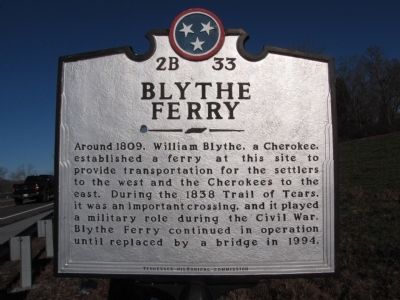
Blythe Ferry
Inscription.
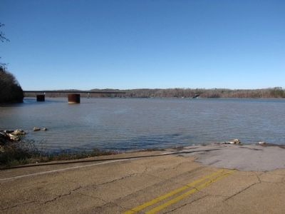
Around 1809, William Blythe, a Cherokee, established a ferry at this site to provide transportation for the settlers to the west and the Cherokees to the east. During the 1838 Trail of Tears, it was an important crossing, and it played a military role during the Civil War. Blythe Ferry continued in operation until replaced by a bridge in 1994.
Erected by Tennessee Historical Commission. (Marker Number 2B 33.)
Topics and series. This historical marker is listed in these topic lists: Bridges & Viaducts • Native Americans • Waterways & Vessels. In addition, it is included in the Tennessee Historical Commission, and the Trail of Tears series lists. A significant historical year for this entry is 1809.
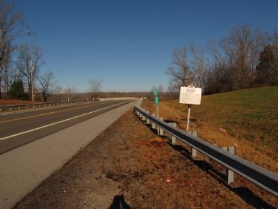
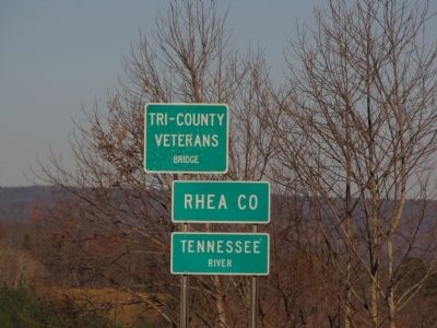
Location. 35° 24.36′ N, 85° 0.992′ W. Marker is near Birchwood, Tennessee, in Meigs County. Marker is on Hiwassee Highway (State Highway 60 at milepost 2), 4 miles north of Birchwood Pike (State Road 312), on the right when traveling north. Marker is located near the south end of the Tennessee River (Tri-County Veterans) Bridge on TN-60 at the Rhea/Meigs County line. Touch for map. Marker is in this post office area: Birchwood TN 37308, United States of America. Touch for directions.
Other nearby markers. At least 8 other markers are within walking distance of this marker. A different marker also named Blythe Ferry (approx. half a mile away); "Orders No. 25" (approx. 0.6 miles away); "To Learn and not Forget" (approx. 0.6 miles away); "Your Fate is Decided" (approx. 0.6 miles away); "Chains of Friendship" (approx. 0.6 miles away); "Given by the Great Spirit above" (approx. 0.6 miles away); "A Desire to Possess" (approx. 0.6 miles away); "Not a treaty at all" (approx. 0.6 miles away). Touch for a list and map of all markers in Birchwood.
Additional commentary.
1. Tennessee Civil War Trails
The Tennessee Civil War Trails map for Southeast Tennessee has the following information: "A company of the 5th Tennessee Infantry Regiment was stationed for over a year at the ferry to guard the mouth of the Hiwassee River. The war's official records note a skirmish at Blythe's Ferry on November 13, 1863. During an artillery duel on that date, Company A, 1st Ohio Light Artillery of the Union forces, suffered one heavily wounded casualty. A great deal of corn was stored on Jolly's Island adjacent to the ford which, since both sides were short of forage and flour, was highly desired by Union and Confederate armies alike."
— Submitted January 11, 2011, by Lee Hattabaugh of Capshaw, Alabama.
Credits. This page was last revised on June 16, 2016. It was originally submitted on January 3, 2011, by Lee Hattabaugh of Capshaw, Alabama. This page has been viewed 1,256 times since then and 145 times this year. Last updated on January 5, 2011, by Lee Hattabaugh of Capshaw, Alabama. Photos: 1, 2, 3, 4. submitted on January 3, 2011, by Lee Hattabaugh of Capshaw, Alabama. • Craig Swain was the editor who published this page.


