Washington Heights in Manhattan in New York County, New York — The American Northeast (Mid-Atlantic)
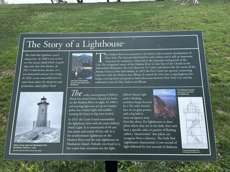
The Story of a Lighthouse
The Hudson River was essential to the history and economic development of New York. The river provided food for early settlers and is still an important waterway for commerce, which led to the expansion and growth of the City. The recognized source of the Hudson River is Lake Tear of the Clouds in the Adirondack Mountains. The river flows for 315 miles and meets with the waters of the Atlantic Ocean at New York Harbor. In 1825 the Erie Canal was opened, connecting Lake Erie with the Hudson near Albany. It turned the river into a superhighway for barges carrying food and goods in both directions between New York City and the Midwestern states of Ohio, Indiana and Illinois.
The rocky outcropping of Jeffrey’s Hook has always been a hazard for boats on the Hudson River at night. In 1889 a red warning light was set up on wooden poles, but a better light and audible warning for boats in fog were needed.
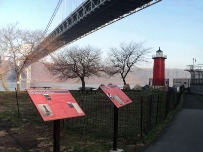
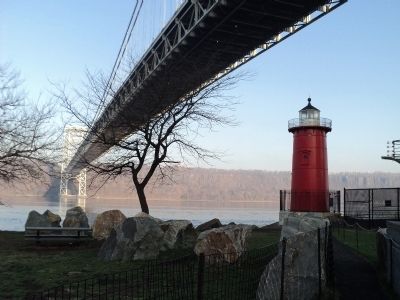
In 1921 the Coast Guard reassembled the lighthouse here with the name Jeffrey’s Hook Light. It is constructed of 48 cast iron plates and stands 40 feet tall. It is the southernmost lighthouse on the Hudson River and the only lighthouse on Manhattan Island. Nobody ever lived in it, but a part-time attendant ran the light.
Jeffrey’s Hook Light used a blinking acetylene lamp, focused by a 5th order Fresnel lens of cut glass prisms, and a fog bell to warn navigators away from the shore. For lighthouses to show pilots where they are in the dark, they each have a specific color or pattern of flashing called a ‘characteristic’ that pilots can recognize from a distance. The Little Red Lighthouse’s characteristic is one second of light followed by two seconds of darkness.
[ Sidebar: ]
The Little Red Lighthouse wasn’t always here. In 1880 it was erected on New Jersey’s Sandy Hook, to guide ships into New York Harbor. By 1917 it had become obsolete, so it was dismantled and put into storage. In 1921, it was reassembled here to warn boats about this dangerous spot of shoreline called Jeffrey’s Hook.
Erected by New York City Department of Parks & Recreation.
Topics and series. This historical marker is listed in these topic lists: Man-Made Features • Waterways & Vessels. In addition, it is included in the Erie Canal, and the Lighthouses series lists. A significant historical year for this entry is 1825.
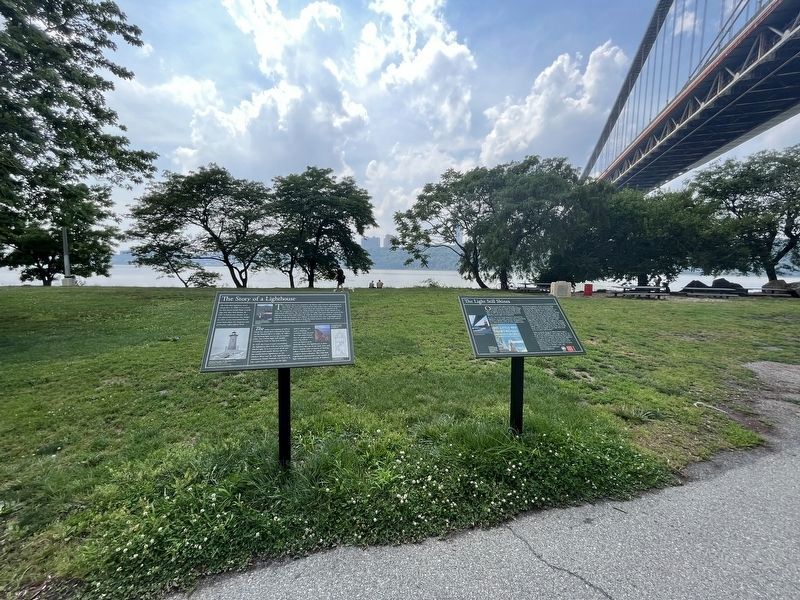
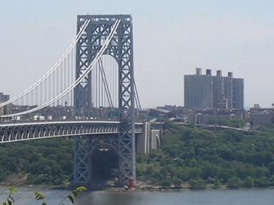
Location. 40° 51′ N, 73° 56.801′ W. Marker is in Manhattan, New York, in New York County. It is in Washington Heights. Marker can be reached from Riverside Drive, on the left when traveling north. Marker is in Fort Washington Park, near the George Washington Bridge. The park can be reached
from Riverside Drive near 181st Street via a footbridge over the Henry Hudson Parkway. Touch for map. Marker is in this post office area: New York NY 10033, United States of America. Touch for directions.
Other nearby markers. At least 8 other markers are within walking distance of this marker. The Little Red Lighthouse (within shouting distance of this marker); The Light Still Shines (within shouting distance of this marker); American Redoubt (about 700 feet away, measured in a direct line); Plaza Lafayette (approx. 0.3 miles away); Highest Point on Manhattan (approx. half a mile away); Robert Magaw Defended this Position (approx. half a mile away); Fort Washington (approx. half a mile away); United Palace (approx. half a mile away). Touch for a list and map of all markers in Manhattan.
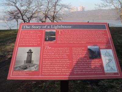
More about this marker. The top of the marker features a photo of Lake Tear of the Clouds located in the Adirondack Mountains. Another photo of the Palisades located across the river from the lighthouse appears below this. A blueprint showing the interior and spiral stairway of the lighthouse is on the right side of the marker. It has a caption of “Line drawing prepared by Li/Saltzman Architects, P.C.
On the lower left of the maker, under the sidebar, is a photo of the lighthouse with the caption “Jeffrey’s Hook Light, Fort Washington Park, Manhattan, February 2, 1952. New York City Parks Photo Archive neg. 27245.”
Also see . . . The Little Red Lighthouse. "Daytonian in Manhattan" entry. (Submitted on April 13, 2020, by Larry Gertner of New York, New York.)
Credits. This page was last revised on July 20, 2023. It was originally submitted on April 10, 2011, by Bill Coughlin of Woodland Park, New Jersey. This page has been viewed 740 times since then and 14 times this year. Photos: 1. submitted on July 20, 2023, by Devry Becker Jones of Washington, District of Columbia. 2. submitted on April 10, 2011, by Bill Coughlin of Woodland Park, New Jersey. 3. submitted on July 20, 2023, by Devry Becker Jones of Washington, District of Columbia. 4, 5, 6. submitted on April 10, 2011, by Bill Coughlin of Woodland Park, New Jersey.
