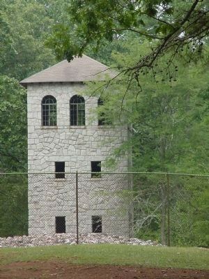
Near Eatonton in Putnam County, Georgia — The American South (South Atlantic)
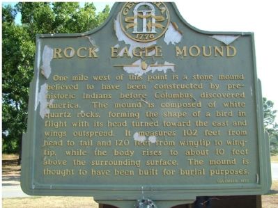
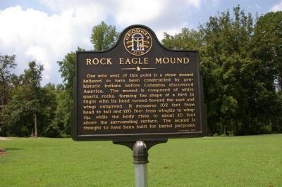
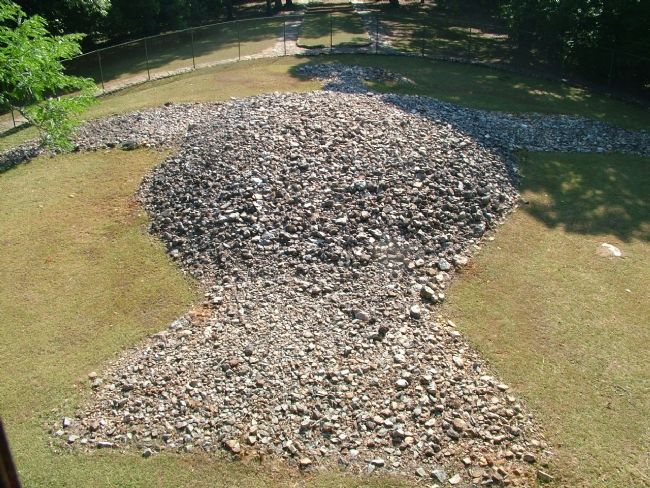
Rock Eagle Mound
Erected 1977.
Topics and series. This historical marker is listed in these topic lists: Anthropology & Archaeology • Native Americans. In addition, it is included in the Georgia Historical Society series list.
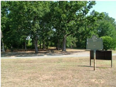
Location. 33° 25.07′ N, 83° 22.354′ W. Marker is near Eatonton, Georgia, in Putnam County. Marker is at the intersection of Madison Highway (U.S. 129) and Rock Eagle Road, on the left when traveling north on Madison Highway. Madison Highway is also known as Highway 441. From Eatonton take Hwy 441 North for 6.8 miles. Marker on left. Touch for map. Marker is in this post office area: Eatonton GA 31024, United States of America. Touch for directions.
Other nearby markers. At least 8 other markers are within 7 miles of this marker, measured as the crow flies. Georgia 4-H Center (within shouting distance of this marker); George Claud Adams (approx. 1.3 miles away); Georgia 4-H Clubs (approx. 1.7 miles away); Union Chapel United Methodist Church (approx. 1.9 miles away); Site of the Home and Private School of Adiel Sherwood (approx. 4.8 miles away); Springfield (approx. 6 miles away); Turnwold Plantation (approx. 6.1 miles away); Seven Islands Road (approx. 6.2 miles away). Touch for a list and map of all markers in Eatonton.
Also see . . . Rock Eagle Effigy Mound - Eatonton, Georgia. Explore Southern History entry (Submitted on January 29, 2021, by Larry Gertner of New York, New York.)
Credits. This page was last revised on January 29, 2021. It was originally submitted on June 26, 2006, by Donald D. Daniel of Forsyth, Georgia. This page has been viewed 17,351 times since then and 628 times this year. Last updated on August 6, 2010, by David Seibert of Sandy Springs, Georgia. Photos: 1. submitted on June 26, 2006, by Donald D. Daniel of Forsyth, Georgia. 2. submitted on August 6, 2010, by David Seibert of Sandy Springs, Georgia. 3. submitted on June 26, 2006, by Donald D. Daniel of Forsyth, Georgia. 4. submitted on August 6, 2010, by David Seibert of Sandy Springs, Georgia. 5. submitted on June 26, 2006, by Donald D. Daniel of Forsyth, Georgia. 6. submitted on July 29, 2008, by Tina Maddox of Eatonton, Georgia. • Kevin W. was the editor who published this page.
