Daniels in Raleigh County, West Virginia — The American South (Appalachia)
Grandview Park
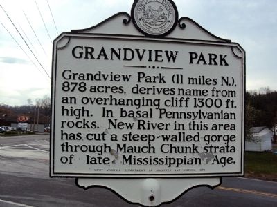
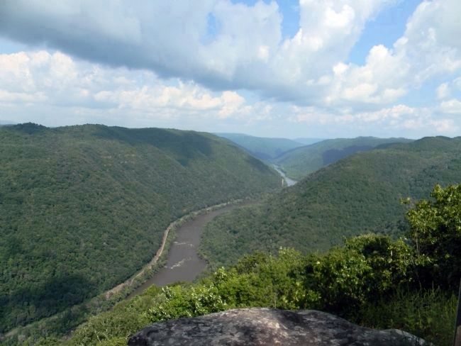
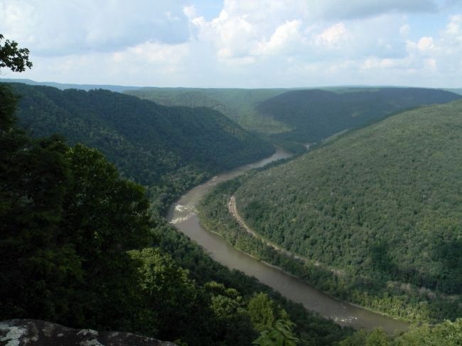
Grandview Park (11 miles N.), 878 acres, derives name from an overhanging cliff 1300 ft. high. In basal Pennsylvanian rocks. New River in this area has cut a steep-walled gorge through Mauch Chunk strata of late Mississippian Age.
Erected 1974 by West Virginia Department of Archives and History.
Topics and series. This historical marker is listed in these topic lists: Environment • Waterways & Vessels. In addition, it is included in the West Virginia Archives and History series list. A significant historical year for this entry is 1300.
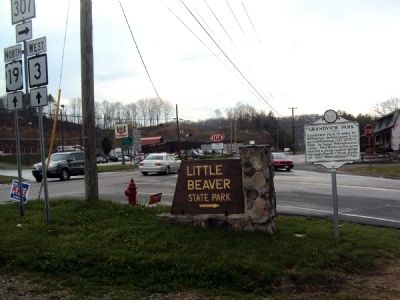
Location. 37° 43.678′ N, 81° 6.234′ W. Marker is in Daniels, West Virginia, in Raleigh County. Marker is at the intersection of Ritter Drive (U.S. 19) and Grandview Road (West Virginia Route 307), on the right when traveling north on Ritter Drive. Touch for map. Marker is at or near this postal address: 2157 Ritter drive, Daniels WV 25832, United States of America. Touch for directions.
Other nearby markers. At least 8 other markers are within 5 miles of this marker, measured as the crow flies. Shady Spring (approx. 1.3 miles away); Big Beaver Creek Ancient Fortification (approx. 2.9 miles away); Skidders and Boomboats (approx. 3˝ miles away); Glade Creek Timber (approx. 3˝ miles away); Boom, Bust & Rebirth (approx. 3˝ miles away); Glade Creek Reservoir (approx. 4 miles away); Colonel Ernest E. Chilson (approx. 4.1 miles away); "The Most Modern Club": Black Knight (approx. 4.2 miles away).
Also see . . .
1. Grand Vue Park. Park website homepage (Submitted on January 21, 2022, by Larry Gertner of New York, New York.)
2. Grandview. New River Gorge National River, National Park Service (Submitted on May 7, 2011, by Bernard Fisher of Richmond, Virginia.)
Credits. This page was last revised on January 21, 2022. It was originally submitted on May 5, 2011, by Jamie Abel of Westerville, Ohio. This page has been viewed 669 times since then and 26 times this year. Photos: 1, 2. submitted on May 5, 2011, by Jamie Abel of Westerville, Ohio. 3, 4. submitted on September 13, 2014, by PaulwC3 of Northern, Virginia. • Bernard Fisher was the editor who published this page.


