West Mansfield in Union County, Ohio — The American Midwest (Great Lakes)
Greeneville Treaty Line / Greeneville Treaty Line in Union County
Inscription.
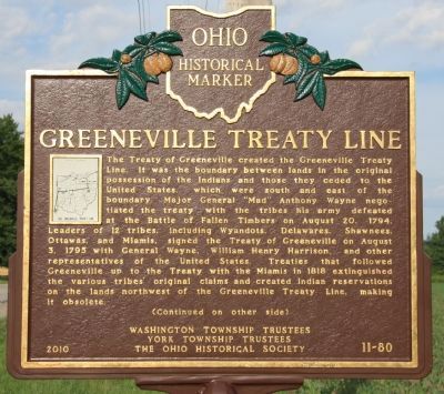
[Front Side of Marker]: "Greeneville Treaty Line"
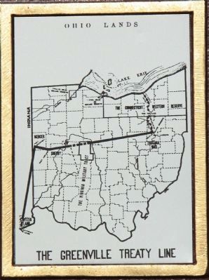
The Treaty of Greeneville created the Greeneville Treaty Line. It was the boundary between lands in the original possession of the Indians and those they ceded to the United States, which were south and east of the boundary. Major General "Mad" Anthony Wayne negotiated the treaty with the tribes his army defeated at the Battle of Fallen Timbers on August 20, 1794. Leaders of 12 tribes, including Wyandots, Delawares, Shawnees, Ottawas, and Miamis, signed the Treaty of Greeneville on August 3, 1795 with General Wayne, William Henry Harrison, and other representatives of the United States. Treaties that followed Greeneville up to the Treaty with the Miamis in 1818 extinguished the various tribes' original claims and created Indian reservations on the lands northwest of the Greeneville Treaty Line, making it obsolete. (Continued on other side)
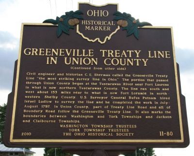
[Back Side of Marker]: "Greeneville Treaty Line in Union County"
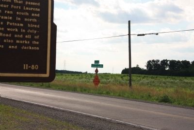
(Continued from other side) Civil engineer and historian C.E. Sherman called the Greeneville Treaty Line "the most striking survey line in Ohio." The portion that passed through Union County began at the Tuscarawas River near Fort Laurens in what is now northern Tuscarawas County. The line ran south and west about 153 miles near to what is now Fort Loramie in northwestern Shelby County. U.S. Surveyor General Rufus Putnam hired Israel Ludlow to survey the line and he completed the work in July-August 1797. In Union County, part of Treaty Line Road and all of Boundary Road follow the Greeneville Treaty Line. It also marks the boundaries between Washington and York Townships and Jackson and Claibourne Townships.
Erected 2010 by Washington Township Trustees, York Township Trustees, and The Ohio Historical Society. (Marker Number 11-80.)
Topics and series. This historical marker is listed in these topic lists: Native Americans • Peace • Settlements & Settlers • Wars, US Indian. In addition, it is included in the Former U.S. Presidents: #09 William Henry Harrison, and the Ohio Historical Society / The Ohio History Connection series lists. A significant historical year for this entry is 1794.
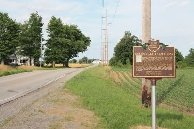
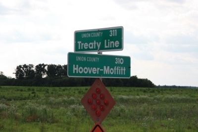
Location. 40° 26.439′ N, 83° 28.788′ W. Marker is in West Mansfield, Ohio, in Union County. Marker is at the intersection of Treaty Line Road and Hoover-Moffitt Road, on the right when traveling east on Treaty Line Road. This historical marker is located in the midst of a rural area, along a country road that was built atop the old Greeneville Treaty line, about midway between Bellefontaine and Marion,
in northern Union county Ohio. Touch for map. Marker is in this post office area: West Mansfield OH 43358, United States of America. Touch for directions.
Other nearby markers. At least 8 other markers are within 7 miles of this marker, measured as the crow flies. Byhalia School Veterans Memorial (approx. 1.6 miles away); York Center WW II Veterans Memorial (approx. 2.4 miles away); York Township Veterans Memorial (approx. 2.4 miles away); West Mansfield (approx. 3.9 miles away); Flatwood Schoolhouse (approx. 4.3 miles away); a different marker also named West Mansfield (approx. 4˝ miles away); Mount Victory United Methodist Church (approx. 6.9 miles away); Mount Victory Veterans Memorial (approx. 7 miles away). Touch for a list and map of all markers in West Mansfield.
Credits. This page was last revised on June 16, 2016. It was originally submitted on June 28, 2011, by Dale K. Benington of Toledo, Ohio. This page has been viewed 1,423 times since then and 79 times this year. Photos: 1, 2, 3, 4, 5, 6. submitted on June 28, 2011, by Dale K. Benington of Toledo, Ohio.
