Rehoboth in Bristol County, Massachusetts — The American Northeast (New England)
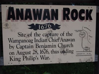
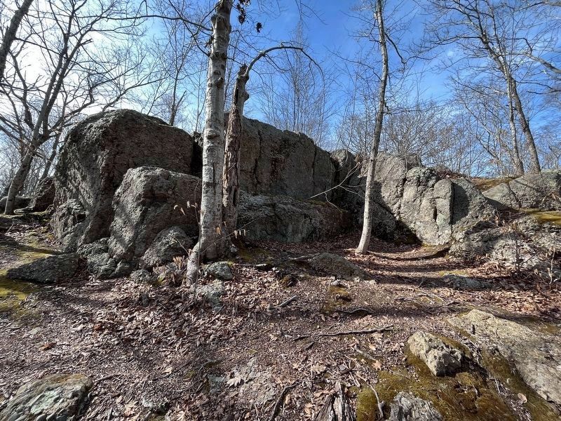
Anawan Rock
1676
Erected by Rehoboth Historical Commission.
Topics. This historical marker is listed in these topic lists: Colonial Era • Native Americans. A significant historical year for this entry is 1676.
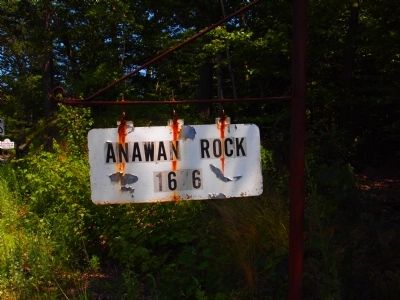
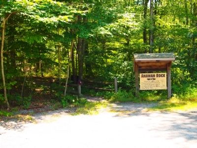
Location. 41° 52.299′ N, 71° 11.604′ W. Marker is in Rehoboth, Massachusetts, in Bristol County. Marker is on U.S. 44, 2 miles east of U.S. 118, on the right when traveling east. you will likely drive past it on the first go. You will notice a older sign right next to the small parking lot. Marker is at entrance of Walking path. Touch for map. Marker is at or near this postal address: Winthrop st, Rehoboth MA 02769, United States of America. Touch for directions.
Other nearby markers. At least 8 other markers are within 4 miles of this marker, measured as the crow flies. Bliss-Carpenter Saw & Shingle Mill (approx. 2 miles away); Anawan House-Inn (approx. 2.6 miles away); Anawan House (approx. 2.6 miles away); Bad Luck Pond (approx. 3.4 miles away); Perryville Dam (approx. 3.4 miles away); Cole-Perry Turning Mill (approx. 3˝ miles away); Indian Oven Rock (approx. 3.8 miles away); Leonard Iron Mine (approx. 3.9 miles away). Touch for a list and map of all markers in Rehoboth.
Also see . . .
1. Anawan Rock - Wikipedia. (Submitted on July 24, 2011, by Bryan Simmons of Attleboro, Massachusetts.)
2. King Philip's War - Wikipedia. (Submitted on July 28, 2011, by Bill Pfingsten of Bel Air, Maryland.)
Credits. This page was last revised on April 17, 2022. It was originally submitted on July 23, 2011, by Bryan Simmons of Attleboro, Massachusetts. This page has been viewed 1,366 times since then and 39 times this year. Photos: 1, 2, 3. submitted on July 23, 2011, by Bryan Simmons of Attleboro, Massachusetts. 4. submitted on April 14, 2022, by Ralph Cahoon of Barnstable, Massachusetts. 5. submitted on July 26, 2011, by Bryan Simmons of Attleboro, Massachusetts. • Bill Pfingsten was the editor who published this page.
