Near Daviston in Tallapoosa County, Alabama — The American South (East South Central)
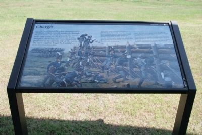
Charge!
Horseshoe Bend National Military Park
— National Park Service, U.S. Department of the Interior —
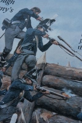
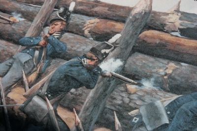
Having maintained for a few minutes a very obstinate contest, muzzle to muzzle, through the port-holes, in which many of the enemy's balls were welded to the bayonets of our musquets, our troops succeeded in gaining possession of the opposite side of the works. The event could no longer be doubtful...
Maj. Gen. Andrew Jackson, Tennessee Militia
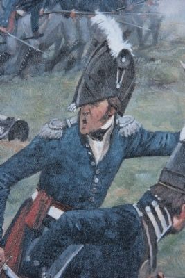
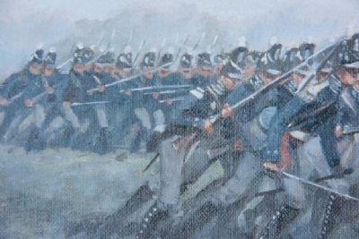
After a two-hour cannon bombardment of the Red Sticks' barricade, Maj. Gen. Jackson discovered that some of the Gen. Coffee's Creek and Cherokee warriors had crossed the Tallapoosa and attacked the Red Sticks from the rear. Realizing his enemy was surrounded, Jackson gave the order for his men to charge the barricade at 12:30 p.m.
For a few brief but bloody minutes the fighting raged. Warriors and soldiers desperately struggled to control the barricade, shooting, hacking, and stabbing with muskets, tomahawks, and bayonets. Overwhelmed by numbers and firepower, the Red Sticks fell back to the river's banks. Many attempted to escape by crossing the Tallapoosa only to be shot by Coffee's men stationed on the opposite side.
Erected by National Park Service, U.S. Department of the Interior.
Topics and series. This historical marker is listed in these topic lists: Native Americans • Wars, US Indian. In addition, it is included in the Former U.S. Presidents: #07 Andrew Jackson series list.
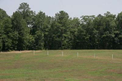
Location. 32° 58.502′ N, 85° 44.135′ W. Marker is near Daviston, Alabama, in Tallapoosa County. Marker can be reached from Battlefield Park Tour Road, on the left. Touch for map. Marker is at or near this postal address: 11288 Horseshoe Bend Road, Daviston AL 36256, United States of America. Touch for directions.
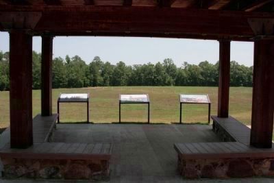
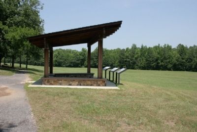
Other nearby markers. At least 8 other markers are within walking distance of this marker. While the Long Roll Was Beating (here, next to this marker); Designed for Defense (here, next to this marker); Major Lemuel P. Montgomery (within shouting distance of this marker); Jackson Trace (within shouting distance of this marker); Horseshoe Bend Battleground Monument (about 300 feet away, measured in a direct line); Gun Hill (about 300 feet away); Futile Escape (approx. 0.2 miles away); They Fought to the Last (approx. 0.2 miles away). Touch for a list and map of all markers in Daviston.
Also see . . . Horseshoe Bend National Military Park. (Submitted on August 30, 2011, by Timothy Carr of Birmingham, Alabama.)
Credits. This page was last revised on September 29, 2019. It was originally submitted on August 30, 2011, by Timothy Carr of Birmingham, Alabama. This page has been viewed 867 times since then and 17 times this year. Photos: 1, 2, 3, 4, 5, 6, 7, 8. submitted on August 30, 2011, by Timothy Carr of Birmingham, Alabama. • Bill Pfingsten was the editor who published this page.
