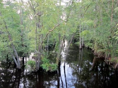
Near Mascot in King and Queen County, Virginia — The American South (Mid-Atlantic)
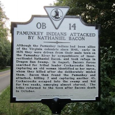
Pamunkey Indians Attacked by Nathaniel Bacon
Inscription.
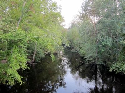
Although the Pamunkey Indians had been allies of the Virginia colonists since 1646, early in 1676 they were driven from their main town on the Pamunkey River by sympathizers of insurrectionist Nathaniel Bacon, and took refuge in Dragon Run Swamp. In August, Bacon’s forces searched for tribal leader Cockacoeske there, capturing an old woman identified as her nurse, whom they killed after she deliberately misled them. Bacon then found the Pamunkey and attacked, killing 7 and capturing another 45. Cockacoeske escaped into the swamp and hid for two weeks, emerging almost starved. The tribe returned to the town after Bacon’s death in October.
Erected 2010 by Department of Historic Resources. (Marker Number OB-14.)
Topics and series. This historical marker is listed in these topic lists: Colonial Era • Native Americans. In addition, it is included in the Virginia Department of Historic Resources (DHR) series list. A significant historical year for this entry is 1646.
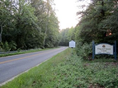
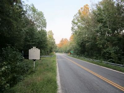
Location. 37° 38.015′ N, 76° 41.78′ W. Marker is near Mascot, Virginia, in King and Queen County. Marker is on New Dragon Bridge Road (Virginia Route 603) 0.8 miles east of Coldwater Road (Virginia Route 610), on the left when traveling east. Touch for map. Marker is in this post office area: Mascot VA 23108, United States of America. Touch for directions.
Other nearby markers. At least 8 other markers are within 6 miles of this marker, measured as the crow flies. Hewick (approx. 2.8 miles away); Lower King and Queen Baptist Church (approx. 4˝ miles away); Colonial Church (approx. 4.6 miles away); Laneville (approx. 5.1 miles away); King and Queen County / Gloucester County (approx. 5˝ miles away); Corbin's Church (approx. 5.6 miles away); Middlesex County Confederate Monument (approx. 5.9 miles away); Middlesex County Courthouse (approx. 5.9 miles away).
Credits. This page was last revised on June 27, 2021. It was originally submitted on September 14, 2011, by Bernard Fisher of Richmond, Virginia. This page has been viewed 1,008 times since then and 57 times this year. Photos: 1, 2, 3, 4, 5. submitted on September 14, 2011, by Bernard Fisher of Richmond, Virginia.
