Fort Hunter in Montgomery County, New York — The American Northeast (Mid-Atlantic)
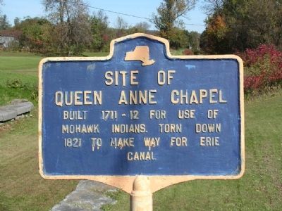
Site of Queen Anne Chapel
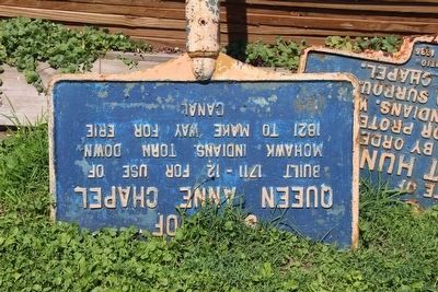
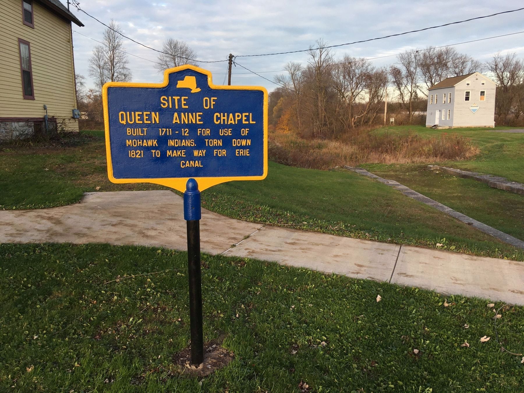
Queen Anne Chapel
Built 1711-12 for use of
Mohawk Indians. Torn down
1821 to make way for Erie
Canal
Topics and series. This historical marker is listed in these topic lists: Churches & Religion • Colonial Era • Native Americans. In addition, it is included in the Erie Canal series list. A significant historical year for this entry is 1821.
Location. 42° 56.362′ N, 74° 16.915′ W. Marker is in Fort Hunter, New York, in Montgomery County. Marker is on Schoharie Street, on the right when traveling north. Touch for map. Marker is at or near this postal address: 129 Schoharie Street, Fort Hunter NY 12069, United States of America. Touch for directions.
Other nearby markers. At least 8 other markers are within walking distance of this marker. Original Erie Canal (a few steps from this marker); Building Block of the Erie Canal (a few steps from this marker); Site of Last Mohawk Indian Village (a few steps from this marker); East Guard Lock (a few steps from this marker); Site of Old Fort Hunter (a few steps from this marker); Site of First Bridge (a few steps from this marker); A Mohawk House Unearthed (a few steps from this marker); The Fort by the Village (within shouting distance of this marker). Touch for a list and map of all markers in Fort Hunter.
More about this marker. Three historic markers stood side by side along Schoharie Street adjacent to the old Erie Canal East Guard Lock and next door to the Schoharie Crossing State Historic Site Visitors Center. In August of 2011 Hurricane Irene hammered the east coast dropping record levels of rains that created unprecedented flooding in the Schoharie and Mohawk Valleys. Flooding in Schoharie County, New York was reported by the National Weather Service in Albany, New York as five-hundred-year-flood conditions, with roughly 5 to 7 inches of rain in the Schoharie Creek water shed area. The Schoharie Creek overflowed its banks here in Fort Hunter and eroded portions of the roadway. The markers were later recovered and placed near their original positions.
!["Aerial view [of Fort Hunter area]". Click for more information. "Aerial view [of Fort Hunter area]" image. Click for more information.](Photos6/630/Photo630996.jpg?11202280700AM)
via The Erie Canal, 1968
3. "Aerial view [of Fort Hunter area]"
The Erie Canal: Schoharie Crossing State Historic Site website entry
Click for more information.
Click for more information.
Photographed By Howard C. Ohlhous, September 23, 2007
5. Site of Queen Anne Chapel Marker
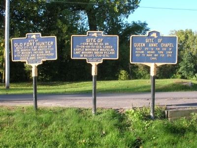
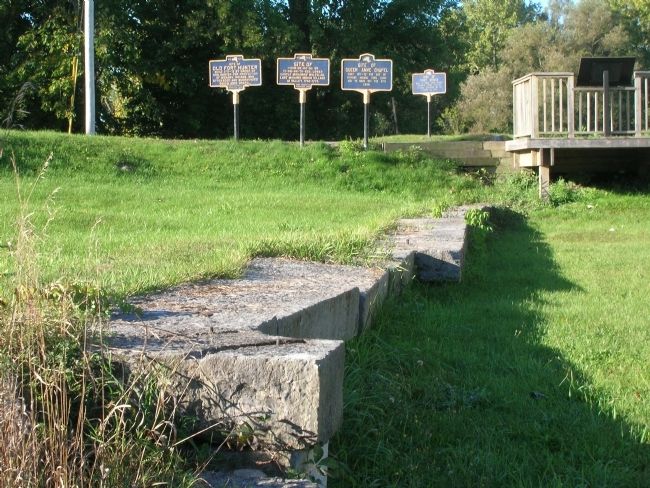
The three markers stood together. A fourth marker stands across the street from the group. In the foreground are the stones of the old Erie Canal East Guard Lock. A roadside deck-like viewing platform with interpretive signs overlooked the East Guard Lock, in the upper right.
Photographed By Howard C. Ohlhous, September 1, 2011
6. Site of Queen Anne Chapel Marker
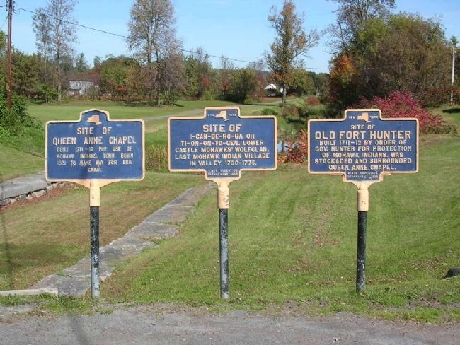
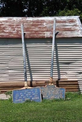
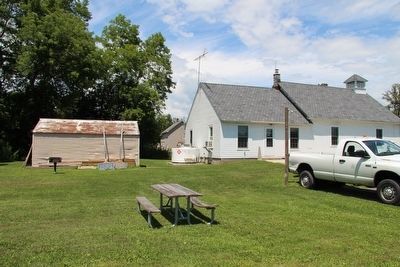
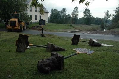
The three markers lie on the lawn across the street from where they stood. The Schoharie Creek flooded this area and washed away part of the road and the area where these markers stood. The front end loader parked on the road serves as a barrier to keep vehicals off this section of unsafe roadway. The Schoharie Crossing State Historic Site visitor center is beyond the loader in the background.
Photographed By Howard C. Ohlhous, September 1, 2011
7. Site of Queen Anne Chapel Marker
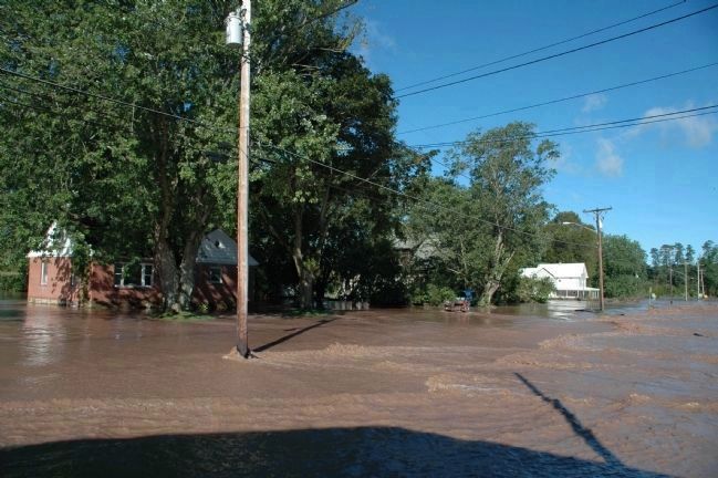
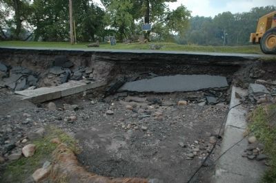
The flood waters of the Schoharie Creek not only washed out the three markers and parts of Schoharie Street, but it did some archaeological work on the East Guard Lock, exposing some previously covered stones of the lock.
Photographed By Howard C. Ohlhous, November 2, 2019
13. Site of Queen Anne Chapel Marker
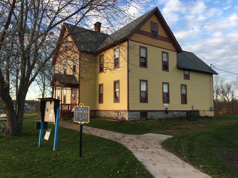
Prior to being uprooted by Hurricane Irene flooding in 2011, the Queen Anne Chapel Site Marker stood adjacent to the East Guard Lock, on the south side. The marker has been restored, and installed slightly to the north of its previous position, and now stands between the lock and Visitors Center.
Credits. This page was last revised on January 1, 2022. It was originally submitted on September 18, 2011, by Howard C. Ohlhous of Duanesburg, New York. This page has been viewed 847 times since then and 73 times this year. Photos: 1, 2. submitted on September 18, 2011, by Howard C. Ohlhous of Duanesburg, New York. 3. submitted on January 1, 2022, by Larry Gertner of New York, New York. 4, 5, 6, 7, 8. submitted on September 18, 2011, by Howard C. Ohlhous of Duanesburg, New York. 9, 10, 11. submitted on September 13, 2015, by Dale K. Benington of Toledo, Ohio. 12, 13. submitted on November 2, 2019, by Howard C. Ohlhous of Duanesburg, New York. • Bill Pfingsten was the editor who published this page.
