Shockoe Bottom in Richmond, Virginia — The American South (Mid-Atlantic)
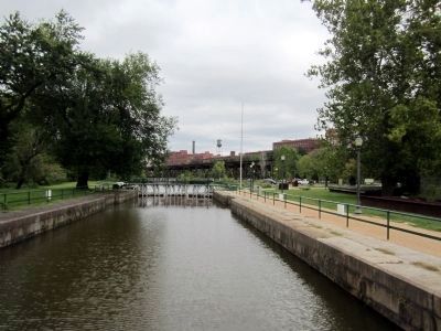
Great Ship Lock
(sidebar)
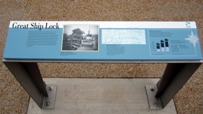
Richmond Trade in 1860
After the Great Ship Lock opened in 1854, trade increased steadily, with packets arriving from New York, Baltimore and Boston. Great Ship Lock traffic nearly doubled before the Civil War limited trade activity.
What were they carrying?
The numbers below show typical cargoes transported in and out of Richmond in 1860, the height of its trade activity.
Incoming vessels
Coal: 29,897 tons
Iron: 13,333 tons
Fish: 25,470 barrels
Oats: 27,035 bushels
Lime: 48,491 casks
Salt: 73,177 sacks
Shingles: 3,116,600
Outgoing vessels
Flour: 423,194 barrels
Wheat: 143,000 bushels
Tobacco: 56,367 packages
[graph]Traffic through the Great Ship Lock
Source: History of the James River and Kanawha Company; Wayne F Dunaway, Columbia University, 1922
Erected 2011 by Virginia Capital Trail.
Topics. This historical marker is listed in these topic lists: Industry & Commerce • Waterways & Vessels. A significant historical year for this entry is 1816.
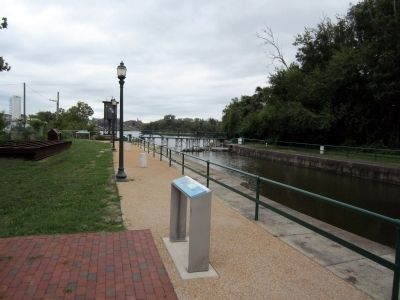
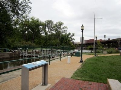
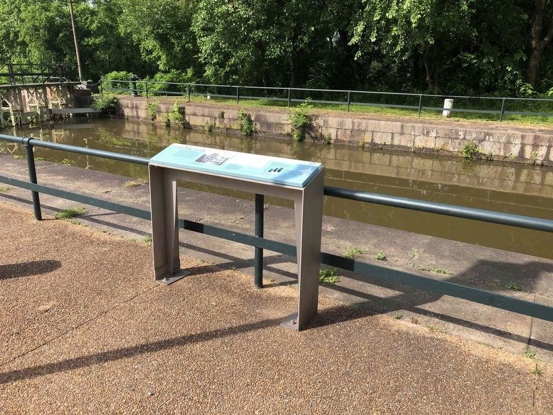
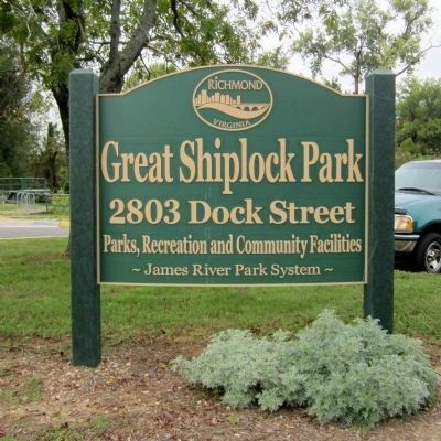
Location. 37° 31.54′ N, 77° 25.254′ W. Marker is in Richmond, Virginia. It is in Shockoe Bottom. Marker can be reached from the intersection of Dock Street and Pear Street, on the right when traveling east. Located in the Great Shiplock Park. Touch for map. Marker is at or near this postal address: 2803 Dock Street, Richmond VA 23223, United States of America. Touch for directions.
Other nearby markers. At least 8 other markers are within walking distance of this marker. Coffer Dams (a few steps from this marker); Confederate Navy Yard (a few steps from this marker); Rocketts Landing (within shouting distance of this marker); a different marker also named Great Ship Lock (within shouting distance of this marker); Rocketts Landing and Wharf / Confederate Navy Yard / Powhatan’s Birthplace (within shouting distance of this marker); a different marker also named Great Ship Lock (within shouting distance of this marker); City Locks River Gauge (within shouting distance of this marker); 17 Feet (within shouting distance of this marker). Touch for a list and map of all markers in Richmond.
More about this marker. Photo captions:
The Gates of the Great Ship Lock
With the opening of the new lock oceangoing ships had access to Richmond Dock. The Valentine Richmond History Center
Map of the City of Richmond (detail)
Prepared by M. Ellyson, 1856. Drawn shortly after the construction of the Great Ship Lock and the Tidewater Connection, the map shows the route ships traveled from the James River into the canal and directly to the city’s dock. The canal system and lock helped make Richmond an important transportation and commercial hub. Massive cargoes of its flour, wheat and tobacco products were shipped to coastal ports and from there to points all over the world. Valentine Richmond History Center
Credits. This page was last revised on February 1, 2023. It was originally submitted on September 22, 2011, by Bernard Fisher of Richmond, Virginia. This page has been viewed 776 times since then and 22 times this year. Photos: 1, 2, 3. submitted on September 22, 2011, by Bernard Fisher of Richmond, Virginia. 4. submitted on May 11, 2019, by Devry Becker Jones of Washington, District of Columbia. 5, 6. submitted on September 22, 2011, by Bernard Fisher of Richmond, Virginia.
