Near Beatrice in Gage County, Nebraska — The American Midwest (Upper Plains)
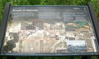
Roads to Success
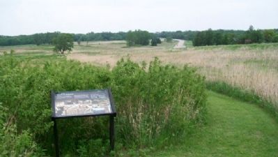
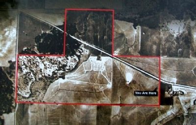
You are standing on an old road trace, lined with cottonwood trees, where freight was hauled by wagon. The ability to get goods to market is yet another reason Daniel Freeman homesteaded here, four miles from the town of Beatrice.
Freight roads helped homesteaders get their harvests to towns with rail depots. Trains could move goods cheaply and quickly over the vast distances of the Great Plains. Freight that took four days to haul by road was delivered by rail in four hours. Easy access to roads and rails could make or break a homesteader.
In just 50 years, railroads made an impact on society similar to the Internet today.
What Happens if the Railroad Never Comes?
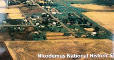
Railroads wanted more customers in the West. Lavish advertisements promised a golden future in towns like Nicodemus, Kansas, that only existed on paper. But no railroad ever came.
People who had bought land then faced having to live on what they were able to produce for themselves. Today, Nicodemus, population 27, is still isolated. The nearest city - Hays, Kansas - is more than an hour's drive.
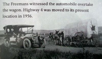
[Inset photo caption reads]
The Freemans witnessed the automobile overtake the wagon. Highway 4 was moved to its present location in 1956.
Erected by National Park Service.
Topics. This historical marker is listed in these topic lists: Agriculture • Railroads & Streetcars • Roads & Vehicles • Settlements & Settlers. A significant historical year for this entry is 1956.
Location. 40° 17.2′ N, 96° 49.646′ W. Marker is near Beatrice, Nebraska, in Gage County. Marker is along the Upland Prairie Loop Trail west of the Homestead Heritage Center. Touch for map. Marker is at or near this postal address: 8523 West Nebraska Hwy 4, Beatrice NE 68310, United States of America. Touch for directions.
Other nearby markers. At least 8 other markers are within walking distance of this marker. Daniel and Agnes Freeman (within shouting distance of this marker); The Homestead Heritage Center (about 400 feet away, measured in a direct line); Homesteading's Legacy is Written on the Land (about 500 feet away); A Prairie Reborn (about 500 feet away); Do You Live Near a Homestead? (about 500 feet away); Walk in Their Shoes (about 500 feet away); Is All Barbed Wire the Same? (about 500 feet away); Success Was Only Natural (about 700 feet away). Touch for a list and map of all markers in Beatrice.
Also see . . .
1. Homestead National Monument of America. (Submitted on September 25, 2011, by William Fischer, Jr. of Scranton, Pennsylvania.)
2. Nicodemus National Historic Site. (Submitted on September 25, 2011, by William Fischer, Jr. of Scranton, Pennsylvania.)
3. "Railroads" in Encyclopedia of the Great Plains. (Submitted on September 25, 2011, by William Fischer, Jr. of Scranton, Pennsylvania.)
Credits. This page was last revised on August 13, 2020. It was originally submitted on September 25, 2011, by William Fischer, Jr. of Scranton, Pennsylvania. This page has been viewed 628 times since then and 13 times this year. Photos: 1, 2, 3, 4, 5. submitted on September 25, 2011, by William Fischer, Jr. of Scranton, Pennsylvania.
