The National Mall in Southwest Washington in Washington, District of Columbia — The American Northeast (Mid-Atlantic)
Bald Cypress
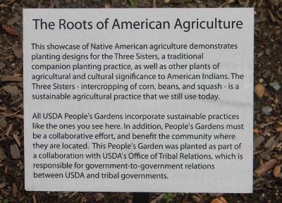
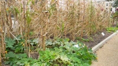
[Native American Agriculture]
— [U.S. Department of Agriculture] —
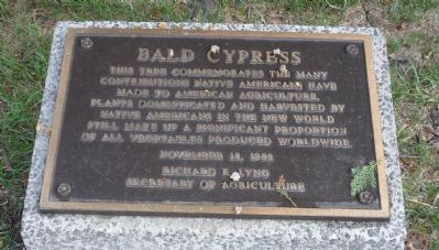
This tree commemorates the many contributions Native Americans have made to American agriculture, plants domesticated and harvested by Native Americans in the New World still make up a significant proportion of all vegetables produced worldwide.
Richard E. Lyng
Secretary of Agriculture
Erected 1988 by U.S. Department of Agriculture.
Topics. This historical marker is listed in these topic lists: Agriculture • Horticulture & Forestry • Native Americans. A significant historical month for this entry is November 1906.
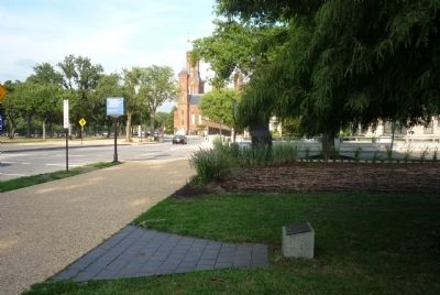
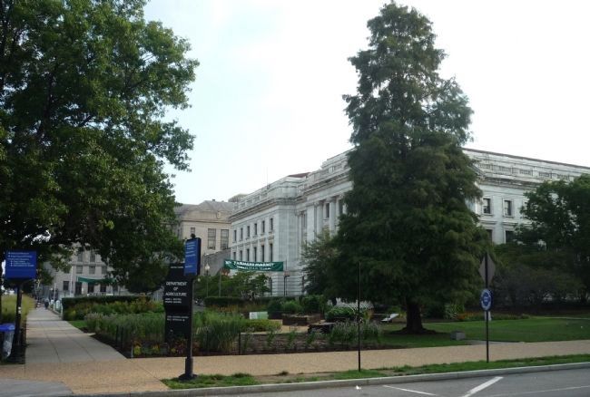
Location. 38° 53.312′ N, 77° 1.707′ W. Marker is in Southwest Washington in Washington, District of Columbia. It is in The National Mall. Marker is on Jefferson Drive Southwest east of 14th Street Southwest (U.S. 1). Marker and tree are near the farmer's market at the northeast corner of the Jamie Lloyd Whitten Building, Headquarters of the U.S. Dept. of Agriculture. Touch for map. Marker is at or near this postal address: 1400 Independence Avenue Southwest, Washington DC 20024, United States of America. Touch for directions.
Other nearby markers. At least 8 other markers are within walking distance of this marker. USDA Holocaust Memorial Tree (here, next to this marker); Welcome to the People's Garden (a few steps from this marker); Federal Grain Inspection Service (within shouting distance of this marker); Dr. Martin Luther King, Jr. Memorial Tree (within shouting distance of this marker); Bradford Pear Tree (within shouting distance of this marker); USDA Veterans Memorial (within shouting distance of this marker); Steven Thomas Stefani IV (about 300 feet away, measured in a direct line); Knapp Memorial Arch (about 400 feet away). Touch for a list and map of all markers in Southwest Washington.
Also see . . . Taxodium distichum: The Bald Cypress. (Submitted on September 13, 2011, by Richard E. Miller of Oxon Hill, Maryland.)
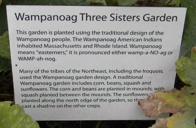
Additional keywords. Pre-Columbian culture; Jamie Lloyd Whitten Federal Building; Wampanoag; American Indians.
Credits. This page was last revised on January 30, 2023. It was originally submitted on September 12, 2011, by Richard E. Miller of Oxon Hill, Maryland. This page has been viewed 904 times since then and 47 times this year. Last updated on September 30, 2011, by Richard E. Miller of Oxon Hill, Maryland. Photos: 1, 2, 3. submitted on September 12, 2011, by Richard E. Miller of Oxon Hill, Maryland. 4, 5, 6. submitted on September 24, 2011, by Richard E. Miller of Oxon Hill, Maryland. • Bill Pfingsten was the editor who published this page.
