Near Highland in Doniphan County, Kansas — The American Midwest (Upper Plains)
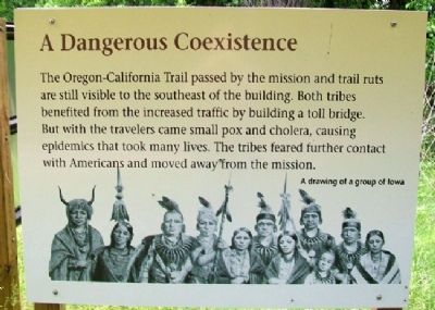
A Dangerous Coexistence
The Oregon-California Trail passed by the mission and trail ruts are still visible to the southeast of the building. Both tribes benefitted from the increased traffic by building a toll bridge. But with the travelers came small pox and cholera, causing epidemics that took many lives. The tribes feared further contact with Americans and moved away from the mission.
[Inset illustration caption reads] A drawing of a group of Iowa
Erected by Kansas Historical Society. (Marker Number 6.)
Topics. This historical marker is listed in these topic lists: Native Americans • Roads & Vehicles.
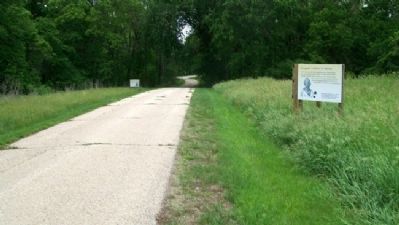
Location. 39° 51.787′ N, 95° 13.721′ W. Marker is near Highland, Kansas, in Doniphan County. Marker is along the lane exiting the mission property. Touch for map. Marker is at or near this postal address: 1737 Elgin Road, Highland KS 66035, United States of America. Touch for directions.
Other nearby markers. At least 8 other markers are within walking distance of this marker. The Missionary Movement (here, next to this marker); The Closing of the Mission (within shouting distance of this marker); Emigrant Indians In Kansas (within shouting distance of this marker); An Agricultural Mission (within shouting distance of this marker); A Manual Training School (within shouting distance of this marker); The Oregon-California Trail (about 300 feet away, measured in a direct line); The Wolf River Crossing (about 300 feet away); The Highland Presbyterian Mission (about 400 feet away). Touch for a list and map of all markers in Highland.
Also see . . .
1. Ioway Tribe of Kansas and Nebraska. Ioway Cultural Institute website entry (Submitted on October 6, 2011, by William Fischer, Jr. of Scranton, Pennsylvania.)
2. Sac & Fox Nation of Missouri in Kansas and Nebraska. Website homepage (Submitted on October 6, 2011, by William Fischer, Jr. of Scranton, Pennsylvania.)
3. Oregon National Historic Trail. National Park Service website entry (Submitted on October 6, 2011, by William Fischer, Jr. of Scranton, Pennsylvania.)
4. California National Historic Trail. National Park Service website entry (Submitted on October 6, 2011, by William Fischer, Jr. of Scranton, Pennsylvania.)
Credits. This page was last revised on December 10, 2021. It was originally submitted on October 6, 2011, by William Fischer, Jr. of Scranton, Pennsylvania. This page has been viewed 513 times since then and 16 times this year. Photos: 1, 2. submitted on October 6, 2011, by William Fischer, Jr. of Scranton, Pennsylvania.

