Salem in Essex County, Massachusetts — The American Northeast (New England)
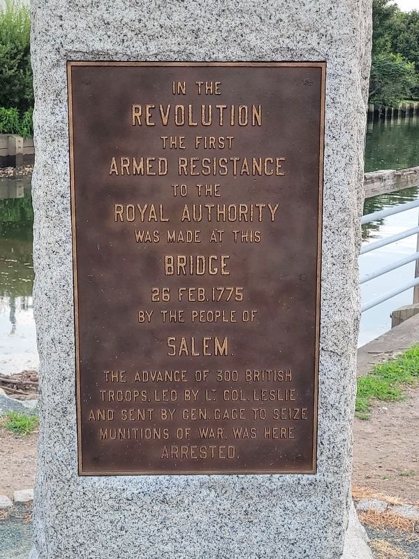
First Armed Resistance
Leslie's Retreat
Topics. This memorial is listed in these topic lists: Colonial Era • War, US Revolutionary. A significant historical date for this entry is February 26, 1775.
Location. 42° 31.49′ N, 70° 53.983′ W. Marker is in Salem, Massachusetts, in Essex County. Memorial is at the intersection of North Street and North Street & Commercial Street, on the right when traveling south on North Street. This marker is walking distance from the other "Leslie's Retreat" marker. Touch for map. Marker is at or near this postal address: 74 North Street, Salem MA 01970, United States of America. Touch for directions.
Other nearby markers. At least 8 other markers are within walking distance of this marker. Leslie's Retreat (about 500 feet away, measured in a direct line); Wesley United Methodist Church (approx. 0.2 miles away); Doctor John G. Treadwell Medical Office (approx. 0.2 miles away); The Witch Gaol (approx. 0.2 miles away); Samuel Curwen House & Store (approx. 0.2 miles away); Nathaniel Bowditch House (approx. ¼ mile away); Alexander Graham Bell (approx. ¼ mile away); The First Church In Salem 1629-1929 (approx. ¼ mile away). Touch for a list and map of all markers in Salem.
Related marker. Click here for another marker that is related to this marker. To better understand the relationship, study each marker in the order shown.
Also see . . .
1. Leslie's Retreat Monument. This is the city's page about the monument.
Excerpt: On February 26th, 1775, the first armed resistance by the colonies to British authority occurred on the North Bridge in Salem.(Submitted on August 7, 2023, by Michael Cleary of Salem, Massachusetts.)
2. Leslie's Retreat, the Salem Gunpowder Raid and Resistance - February 26, 1775.
Excerpt: This account of the incident ... is based on an article that appeared in the Essex Gazette on Tuesday, February 28, 1775. It is assumed Timothy Pickering wrote the article that appeared in the Gazette.(Submitted on August 7, 2023, by Michael Cleary of Salem, Massachusetts.)
3. North Street Overpass.
Excerpt: This necessitated the razing of the historic bridge that was the site of Leslie's Retreat in 1775.(Submitted on August 7, 2023, by Michael Cleary of Salem, Massachusetts.)

Photographed By Michael Cleary, August 7, 2023
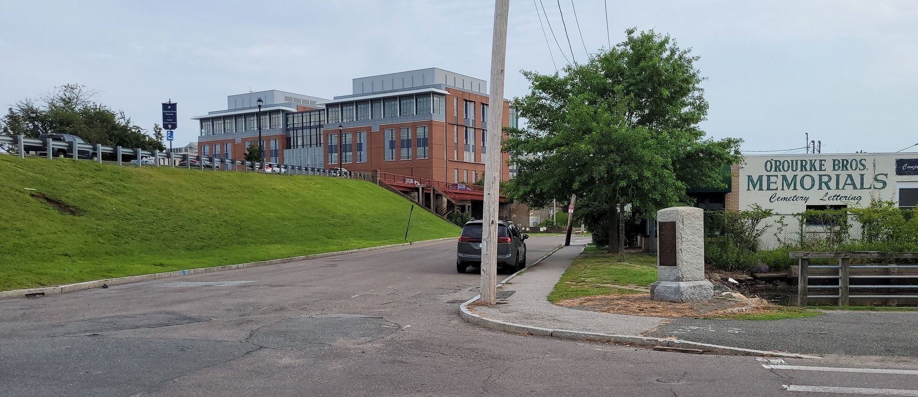
4. First Armed Resistance Monument, showing current North Street embankment
The North River is a tidal estuary. West of this point it has been converted to the canal that is visible in the photos, next to the monument company. East of this point it flows under the embankment to a larger estuary and then to the Danvers River and the ocean. The embankment and overpass opened in 1952, replacing the bridge that was central to Leslie's Retreat. More details can be found in some of the links.
Credits. This page was last revised on August 8, 2023. It was originally submitted on October 18, 2011, by Michael Tiernan of Danvers, Massachusetts. This page has been viewed 996 times since then and 26 times this year. Photos: 1. submitted on August 7, 2023, by Michael Cleary of Salem, Massachusetts. 2, 3. submitted on October 18, 2011, by Michael Tiernan of Danvers, Massachusetts. 4. submitted on August 7, 2023, by Michael Cleary of Salem, Massachusetts. • Bill Pfingsten was the editor who published this page.


