Hastings in Dakota County, Minnesota — The American Midwest (Upper Plains)
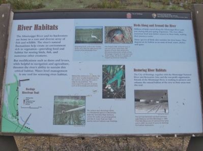
River Habitats
But modifications such as dams and levees, while helpful to navigation and agriculture, threaten the river's ability to sustain this critical habitat. Water level management is one tool for restoring river habitat.
Restoring River Habitats
The City of Hastings, together with the Mississippi National River and Recreation Area and the non-profit organization Friends of the Mississippi River, is working to preserve and enhance the natural habitat of the river in three areas near this trail.
Birds Along and Around the River
Millions of birds travel along the Mississippi River each year during fall and spring migrations. The river offers numerous food and shelter sources to these birds, making their journeys easier.
Many species of birds also consider the river home. They depend on its habitat as an oasis of food, water, shelter, and space.
Erected by City of Hastings; National Park Service, U.S. Department of the Interior, Mississippi National River and Recreation Area.
Topics. This historical marker is listed in these topic lists: Animals • Environment • Waterways & Vessels.
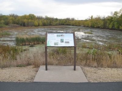
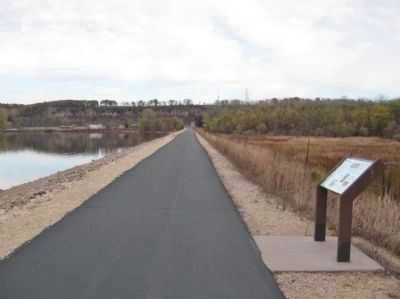
Location. 44° 45.344′ N, 92° 52.521′ W. Marker is in Hastings, Minnesota, in Dakota County. Marker can be reached from Lock and Dam Road, 2 miles north of 2nd Street West. Marker is along the Hastings Riverfront Trail southwest of Lock and Dam Number 2. Touch for map. Marker is at or near this postal address: 1350 Dam Road, Hastings MN 55033, United States of America. Touch for directions.
Other nearby markers. At least 8 other markers are within 2 miles of this marker, measured as the crow flies. Shaping the River (approx. 0.4 miles away); Native Cultures (approx. 0.6 miles away); Enjoying the River (approx. 0.8 miles away); Living in the Water (approx. 0.9 miles away); Going with the Flow (approx. 1.1 miles away); Downtown Develops (approx. 1.3 miles away); One Neighborhood, Many Stories (approx. 1.4 miles away); American Legion Veterans Memorial (approx. 1.4 miles away). Touch for a list and map of all markers in Hastings.
More about this marker. [photo captions, clockwise from top]
• Migrating birds, such as this Tundra Swan, are a familiar sight along this stretch of the Mississippi River. U.S. Fish and Wildlife Service
• The Virginia Rail, pictured here, is just one of the more than 250 species of birds that inhabit the Minnesota-Wisconsin stretch of the Mississippi. Despite its small size and slight wings, the bird is capable of migrating immense distances.
• This jet fuel terminal was built between Lake Rebecca and the Mississippi in 1951. Flint Hills Resources LP removed the tanks and in 2001 donated 43 acres to Hastings for habitat restoration. Hastings Star Gazette
• The seldom seen Blanding's Turtle is a threatened species in Minnesota. Both the Vermilion River Bottoms, where this turtle was photographed, and the St. Croix River are high quality natural habitats near Hastings. National Park Service
• Before the construction of dams, the river's level usually dropped during the summer, allowing the water's edge to dry and firm. This encouraged the growth of plants such as Arrowhead, pictured here. National Park Service
Also see . . .
1. Mississippi National River and Recreation Area. (Submitted on December 10, 2011.)
2. Friends of the Mississippi River. (Submitted on December 10, 2011.)
3. Lock & Dam #2. (Submitted on December 10, 2011.)
Credits. This page was last revised on June 16, 2016. It was originally submitted on December 10, 2011, by Keith L of Wisconsin Rapids, Wisconsin. This page has been viewed 560 times since then and 13 times this year. Photos: 1, 2, 3, 4. submitted on December 10, 2011, by Keith L of Wisconsin Rapids, Wisconsin.


