Near Newberry Springs in San Bernardino County, California — The American West (Pacific Coastal)
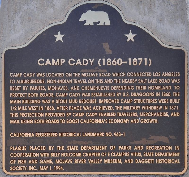
Camp Cady
1860-1871
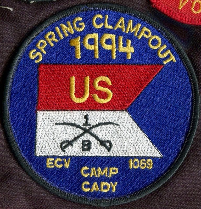
Erected 1994 by State Department of Parks and Recreation, Billy Holcomb Chapter No. 1069 E Clampus Vitus, State Department of Fish and Game, Mojave River Valley Museum, and Daggett Historical Society, Inc. (Marker Number 963-1.)
Topics and series. This historical marker is listed in these topic lists: Forts and Castles • Military • Native Americans • Roads & Vehicles. In addition, it is included in the California Historical Landmarks, the E Clampus Vitus, and the Mojave Road (Old Government Road) series lists. A significant historical year for this entry is 1860.
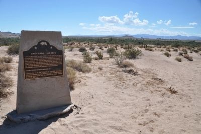
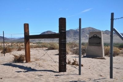
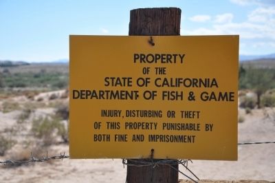
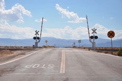
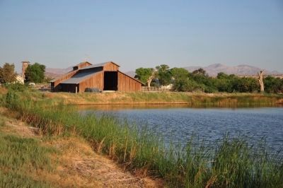
Location. 34° 56.703′ N, 116° 35.953′ W. Marker is near Newberry Springs , California, in San Bernardino County. Marker can be reached from Cherokee Road. From Interstate 15 exit Harvard Road and go south. Cross the railroad tracks and and turn left at Cherokee Road. Drive east 2½ miles and turn right at the end of the fence made of railroad ties and barbed wire. Marker is on the Califorina Department of Fish and Game Wildlife Refuge on the north side of the Mojave River. This road can be extremely sandy and treacherous. Touch for map. Marker is in this post office area: Newberry Springs CA 92365, United States of America. Touch for directions.
Other nearby markers. At least 8 other markers are within 10 miles of this marker, measured as the crow flies. A different marker also named Camp Cady (approx. 2.7 miles away); Historic Mojave River Road (approx. 2.7 miles away); Harvard Mill (approx. 3.8 miles away); Harvard Reservoir (approx. 3.9 miles away); Bagdad Café, Newberry Springs, California (approx. 9 miles away); Mojave Road (approx. 9½ miles away); The Mojave Desert (approx. 9½ miles away); Newberry Springs (approx. 9½ miles away). Touch for a list and map of all markers in Newberry Springs.
Regarding Camp Cady. Platrix Chapter No. 2 had erected a marker commemorating Camp Cady in October 1966. It has been missing for some time. This site had been named a State Point of Historical Interest on May 9, 1975. More recent research determined this site played an important enough role in the history of our state to warrant a designation of California Historical Landmark as part of the overall Mojave Road commemoration. SOURCE: Billy Holcomb Chapter 1069 35th Anniversary Plaque Book by Phillip Holdaway
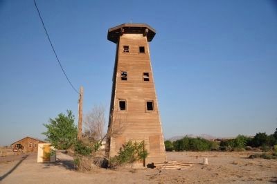
Also see . . . Historic California Posts: Camp Cady. Located about 20 miles east of Barstow, San Bernardino County, Camp Cady was posted on April 14, 1860, in compliance with an order by General N.S. Clarke, by Major Carleton with Company K, 1st Dragoons, aggregating 80 men, near the Mojave River Road. The encampment was called Camp Cady for Major Albemarle Cady, 6th Infantry, then in command of Fort Yuma. For three months the Dragoons quartered themselves in temporary shelters of brush and mud or dugouts similar to those used later by the region's miners. (Submitted on December 20, 2011, by Michael Kindig of Elk Grove, California.)
Credits. This page was last revised on October 21, 2021. It was originally submitted on December 19, 2011, by Michael Kindig of Elk Grove, California. This page has been viewed 2,056 times since then and 153 times this year. Photos: 1. submitted on October 21, 2021, by Craig Baker of Sylmar, California. 2, 3, 4, 5. submitted on December 25, 2011, by Michael Kindig of Elk Grove, California. 6, 7, 8. submitted on June 8, 2012, by Michael Kindig of Elk Grove, California. 9. submitted on August 8, 2016, by Michael Kindig of Elk Grove, California. • Syd Whittle was the editor who published this page.
