Near St. Helena in Napa County, California — The American West (Pacific Coastal)
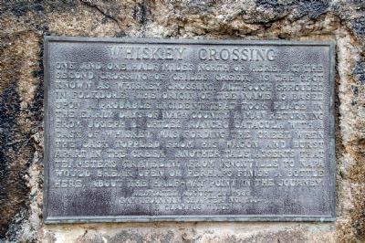
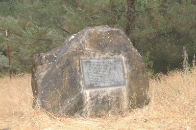
Whiskey Crossing
Erected 1988 by Sam Brannan Chapter No. 1004, E Clampus Vitus.
Topics and series. This historical marker is listed in these topic lists: Roads & Vehicles • Waterways & Vessels. In addition, it is included in the E Clampus Vitus series list.
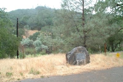
Location. 38° 30.277′ N, 122° 21.21′ W. Marker is near St. Helena, California, in Napa County. Marker is on Chiles-Pope Valley Road, on the left when traveling north. Marker is located 1.1 miles from the triangular intersection of Chiles-Pope Valley Road, and Sage Canyon Road, at the upper end of Lake Hennessey. Touch for map. Marker is in this post office area: Saint Helena CA 94574, United States of America. Touch for directions.
Other nearby markers. At least 8 other markers are within 7 miles of this marker, measured as the crow flies. Nichelini Vineyard (approx. 3.2 miles away); Napa P.O.W. Camp (approx. 4.6 miles away); Chalet Bernensis (approx. 5½ miles away); Stonebridge (approx. 5½ miles away); Site of Yount’s Blockhouse (approx. 5.8 miles away); NSGW & Historic District (approx. 6.2 miles away); Richie Block (approx. 6.3 miles away); Robert Louis Stevenson (approx. 6.3 miles away). Touch for a list and map of all markers in St. Helena.
Additional commentary.
1. Additional Information Regarding the Marker Dedication
Lew Allen was Noble Grand Humbug when this palque was dedicated. Plaque wording by loren A. Wilson.
— Submitted April 17, 2012, by Loren Wilson of Sebastopol, California.
Credits. This page was last revised on June 16, 2016. It was originally submitted on April 17, 2012, by Loren Wilson of Sebastopol, California. This page has been viewed 657 times since then and 19 times this year. Photos: 1, 2, 3. submitted on April 17, 2012, by Loren Wilson of Sebastopol, California. • Syd Whittle was the editor who published this page.


