Cheat Bridge in Randolph County, West Virginia — The American South (Appalachia)
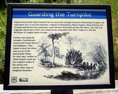
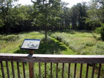
Guarding the Turnpike
Further east along the turnpike, Confederates constructed Camps Bartow and Allegheny. They hoped to deny the Union easy access to the Shenandoah Valley. On clear days, soldiers at Cheat Summit could see the campfire smoke of the enemy over twenty miles away on Allegheny Mountain.
Erected by US Forest Service.
Topics. This historical marker is listed in these topic lists: Forts and Castles • Roads & Vehicles • War, US Civil. A significant historical year for this entry is 1817.
Location. 38° 37.367′ N, 79° 52.76′ W. Marker is in Cheat Bridge, West Virginia, in Randolph County. Marker can be reached from County Route 250/4, 1.1 miles west of U.S. 250. Located in Fort Milroy. Touch for map. Marker is in this post office area: Huttonsville WV 26273, United States of America. Touch for directions.
Other nearby markers. At least 8 other markers are within 3 miles of this marker, measured as the crow flies. Astride the Road from Nowhere (here, next to this marker); Cabin Remains (within shouting distance of this marker); Behind the Parapet (within shouting distance of this marker); Cheat Summit Fort (about 500 feet away, measured in a direct line); Shavers Fork (approx. 0.8 miles away); Cheat Summit Camp (approx. 0.9 miles away); Asa Gray / Buffalo-Indian Trail (approx. one mile away); Cheat Mountain (approx. 2.4 miles away). Touch for a list and map of all markers in Cheat Bridge.
Credits. This page was last revised on June 16, 2016. It was originally submitted on August 10, 2012, by Bernard Fisher of Richmond, Virginia. This page has been viewed 585 times since then and 31 times this year. Photos: 1, 2, 3. submitted on August 10, 2012, by Bernard Fisher of Richmond, Virginia.


