Near Manassas in Prince William County, Virginia — The American South (Mid-Atlantic)
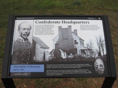
Confederate Headquarters
First Battle of Manassas
— July 21, 1861 —
Inscription.
Portici made an idea headquarters for Confederate General Joseph E. Johnston. From here he had a commanding view of the main roads and surrounding countryside. Throughout the day Confederate regiments passed through the Lewis property en route to the front, and Johnston could forward these reinforcements to any part of the field.
After the battle Portici became a field hospital. Surgeons ministered to the injured of both sides. The wounded filled the plantation outbuildings and covered every floor of the once elegant home.
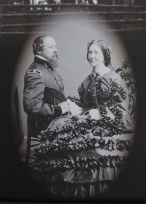
Among the Federal wounded taken to Portici was artillery Captain James B. Ricketts, wounded in the thigh. His devoted wife Fanny journeyed through the lines to care for her husband. Her diary provides vivid details of the carnage at Portici:
Downstairs there are some forty men in the various stages of death or recovery. Blood runs on the floor, the smell is dreadful but no language can describe it... I was awake all night, the groans of the dying sounding in my ears. No one can dream of the sickening horrors of this place.
Erected 2012 by Manassas National Battlefield Park - National Park Service - Department of the Interior.
Topics. This historical marker is listed in this topic list: War, US Civil.
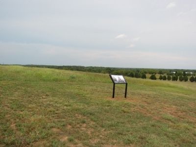
Location. 38° 48.445′ N, 77° 30.383′ W. Marker is near Manassas, Virginia, in Prince William County. Marker can be reached from Vandor Lane, on the right when traveling north. Located on a park access road to the north (a left turn) off Vandor Lane. It is also north of Interstate 66. Touch for map. Marker is in this post office area: Manassas VA 20109, United States of America. Touch for directions.
Other nearby markers. At least 8 other markers are within walking distance of this marker. Cavalry Clash (a few steps from this marker); Portici (about 700 feet away, measured in a direct line); The Arrival of Jefferson Davis (approx. 0.3 miles away); Turning the Tide (approx. 0.8 miles away); Charge on Griffin’s Guns (approx. 0.8 miles away); 7th Georgia Regiment (approx. 0.8 miles away); Point Blank Volley (approx. 0.8 miles away); Point-Blank Volley (approx. 0.8 miles away). Touch for a list and map of all markers in Manassas.
Also see . . . Confederate Headquarters. Old marker that stood at this location. (Submitted on September 2, 2012, by Craig Swain of Leesburg, Virginia.)

Photographed By Craig Swain
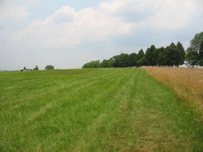
4. Site of Portici
Looking from the parking area to the east. The marker location is on the other side of the tree line. Portici stood on the high ground in this vicinity. A lane branching off from the Old Washington Road intersected another lane to Lewis Ford near the house. The structures in the distant left are modern.
Credits. This page was last revised on June 16, 2016. It was originally submitted on September 2, 2012, by Craig Swain of Leesburg, Virginia. This page has been viewed 818 times since then and 20 times this year. Photos: 1, 2, 3. submitted on September 2, 2012, by Craig Swain of Leesburg, Virginia. 4. submitted on July 31, 2008, by Craig Swain of Leesburg, Virginia.


