Near Manassas in Prince William County, Virginia — The American South (Mid-Atlantic)
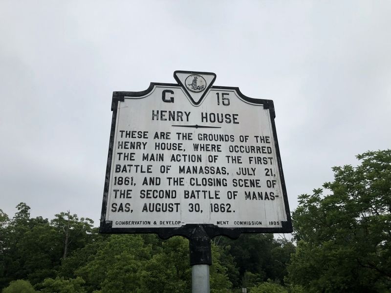
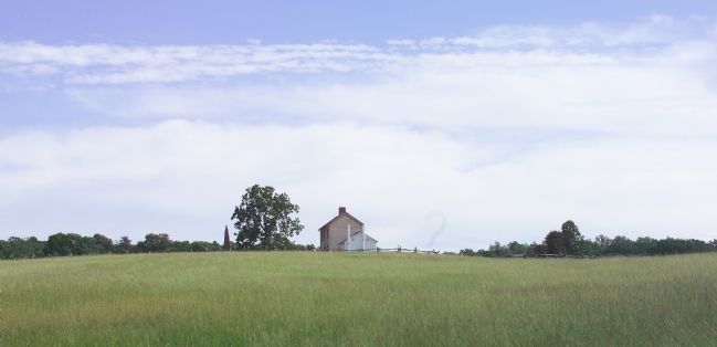
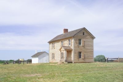
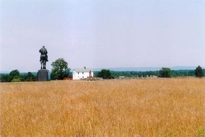
Henry House
Erected 1935 by Conservation and Development Commission. (Marker Number G-15.)
Topics and series. This historical marker is listed in this topic list: War, US Civil. In addition, it is included in the Virginia Department of Historic Resources (DHR) series list. A significant historical date for this entry is July 21, 1861.
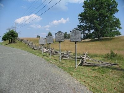
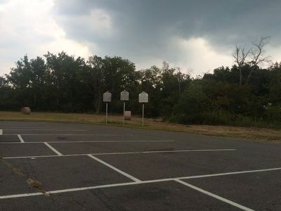
Location. 38° 49.157′ N, 77° 31.487′ W. Marker is near Manassas, Virginia, in Prince William County. Marker is with two other markers on the eastern edge of the Stone House parking lot, near the intersection of Lee Highway (29) and Sudley Rd. (234). Touch for map. Marker is in this post office area: Manassas VA 20109, United States of America. Touch for directions.
Other nearby markers. At least 5 other markers are within walking distance of this marker. First Battle of Manassas (here, next to this marker); a different marker also named First Battle of Manassas (here, next to this marker); Stone House (within shouting distance of this marker); Stone House: Witness to War (about 300 feet away, measured in a direct line); Battlefield of Bull Run or First Manassas (about 600 feet away). Touch for a list and map of all markers in Manassas.
More about this marker. The marker was previously just east of the Manassas National Battlefield Park’s Stone House parking lot, on the right as you travel east on US Route 29.
Credits. This page was last revised on July 8, 2021. It was originally submitted on October 10, 2006, by Tom Fuchs of Greenbelt, Maryland. This page has been viewed 2,129 times since then and 66 times this year. Photos: 1. submitted on July 5, 2020, by Devry Becker Jones of Washington, District of Columbia. 2. submitted on August 1, 2007, by Craig Swain of Leesburg, Virginia. 3. submitted on September 11, 2015, by J. Makali Bruton of Accra, Ghana. 4, 5. submitted on October 10, 2006, by Tom Fuchs of Greenbelt, Maryland. 6. submitted on November 22, 2008, by Mike Stroud of Bluffton, South Carolina. • J. J. Prats was the editor who published this page.
