Cape Charles in Northampton County, Virginia — The American South (Mid-Atlantic)
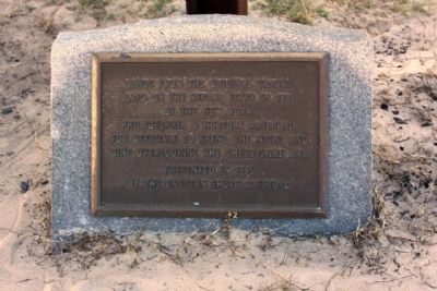
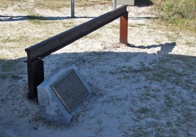
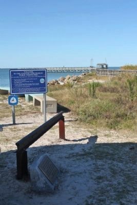
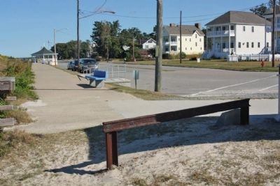
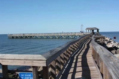
Rails Overlooking the Chesapeake Bay
laid on the riprap jetty in 1884
by the New York,
Philadelphia & Norfolk Railroad,
for officials to spend the night and
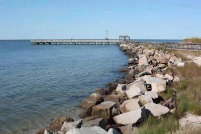
dine overlooking the Chesapeake Bay.
Presented in 1995
by the Eastern Shore Railroad
Topics. This historical marker is listed in these topic lists: Man-Made Features • Railroads & Streetcars • Waterways & Vessels. A significant historical year for this entry is 1884.
Location. 37° 16.015′ N, 76° 1.403′ W. Marker is in Cape Charles, Virginia, in Northampton County. Marker is on Bay Avenue near Mason Avenue, on the right when traveling south. Touch for map. Marker is in this post office area: Cape Charles VA 23310, United States of America. Touch for directions.
Other nearby markers. At least 8 other markers are within walking distance of this marker. The Chesapeake Bay Impact Crater (a few steps from this marker); A Changing Way of Life... (within shouting distance of this marker); Cape Charles Ice & Lumber Co. (approx. 0.2 miles away); Cape Charles to Little Creek (approx. ¼ mile away); Veterans War Memorial (approx. ¼ mile away); The Eastern Shore Railroad (approx. 0.3 miles away); Cape Charles Colored School (approx. 0.8 miles away); Cape Charles (approx. 0.8 miles away). Touch for a list and map of all markers in Cape Charles.
Credits. This page was last revised on June 16, 2016. It was originally submitted on November 25, 2012, by Mike Stroud of Bluffton, South Carolina. This page has been viewed 528 times since then and 11 times this year. Photos: 1, 2, 3, 4, 5, 6, 7, 8. submitted on November 25, 2012, by Mike Stroud of Bluffton, South Carolina.
