South of Broad in Charleston in Charleston County, South Carolina — The American South (South Atlantic)
Charleston Waterfront
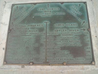
Fort Moultrie
1776
First complete victory
in Revolution
↑
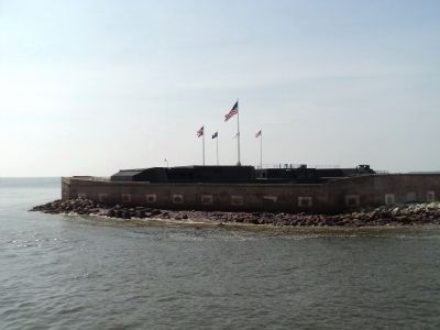
Fort Sumter
1829
Longest Siege in warfare
1863-186
↑
Fort Johnson
1704
First shot in Civil War
← Castle Pickney
1794
← Cooper River
Formerly Wando – Renamed 1672
----------
English settled here 1670
Spanish-French Siege 1706
Stefe Bonnet, pirate and his crew buried here 1716
First Independent flag 1765
First victory over British 1776
Captured by British 1780
James Island →
Ashley River →
Formerly Kiawa – Renamed 1666
----------
First shot of Civil War 1861
Firs Iron clad batteries 1861
First attack of iron clad squadron 1863
First submarine 1863
First machine gun 1863
Occupied by Federal troops 1865
Topics. This historical marker is listed in these topic lists: Colonial Era • War, US Civil • War, US Revolutionary. A significant historical year for this entry is 1776.
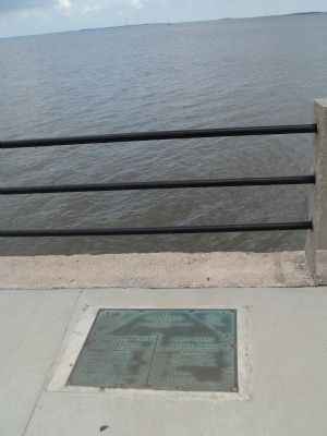
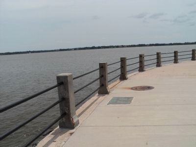
Location. 32° 46.159′ N, 79° 55.726′ W. Marker is in Charleston, South Carolina, in Charleston County. It is in South of Broad. Marker can be reached from E Battery near Murray Blvd., on the left when traveling south. Marker is on the waterfront walkway at the Battery. Touch for map. Marker is in this post office area: Charleston SC 29401, United States of America. Touch for directions.
Other nearby markers. At least 8 other markers are within walking distance of this marker. Confederate Defenders of Charleston (within shouting distance of this marker); Seven - Inch Banded Brooks Rifle (within shouting distance of this marker); Ten - Inch Smooth Bore Columbaid Cannon (within shouting distance of this marker); Moultrie (within shouting distance of this marker); a different marker also named Ten - Inch Smooth Bore Columbaid Cannon (within shouting distance of this marker); USS Pringle (DD-477) (within shouting distance of this marker); Hurricane Hugo (within shouting distance of this marker); Eleven - Inch Dahlgren Gun (within shouting distance of this marker). Touch for a list and map of all markers in Charleston.
Credits. This page was last revised on February 16, 2023. It was originally submitted on August 21, 2013, by Bill Coughlin of Woodland Park, New Jersey. This page has been viewed 1,021 times since then and 50 times this year. Photos: 1, 2, 3, 4, 5, 6. submitted on August 21, 2013, by Bill Coughlin of Woodland Park, New Jersey.
