Fort Stockton in Pecos County, Texas — The American South (West South Central)
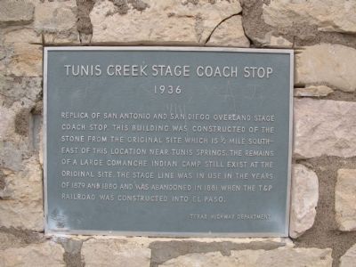
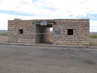
Tunis Creek Stage Coach Stop
Erected 1936 by Texas Highway Department.
Topics and series. This historical marker is listed in these topic lists: Native Americans • Railroads & Streetcars • Roads & Vehicles. In addition, it is included in the Comanche Trail into Mexico, the San Antonio-El Paso Road, and the Texas 1936 Centennial Markers and Monuments series lists. A significant historical year for this entry is 1879.
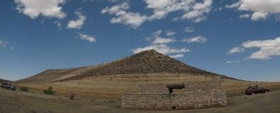
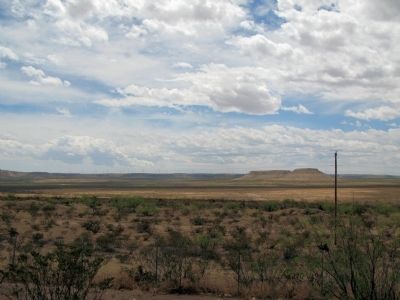
Location. 30° 51.622′ N, 102° 32.974′ W. Marker is in Fort Stockton, Texas, in Pecos County. Marker is on Interstate 10, 2 miles east of Farm to Market Road 2023, on the right when traveling east. Marker is located in a picnic area pull over. Touch for map. Marker is in this post office area: Fort Stockton TX 79735, United States of America. Touch for directions.
Related marker. Click here for another marker that is related to this marker. Another Comanche campsite in nearby Fort Stockton.
Additional commentary.
1. Tunas Springs
"Tunis" is probably a corruption of the word "Tunas". The springs are alternatively known as "Tunas Springs", "Tuna" being fruit produced by prickly pear cactus and a staple food of Indians of Texas. See Major and Historical Springs of Texas, Gunnar Brune, a report to the Texas Water Development Board.
— Submitted April 27, 2014, by Richard Denney of Austin, Texas.
2. Comanche Land and Ever Has Been
For how the springs (Tunas Springs) fit into the bigger picture of Comanche lands, see "Comanche Land and Ever Has Been": A Native Geography of the Nineteenth-Century Comanchería, Author(s): Daniel J. Gelo, Source: The Southwestern Historical Quarterly, Vol. 103, No. 3 (Jan., 2000)
— Submitted April 27, 2014, by Richard Denney of Austin, Texas.
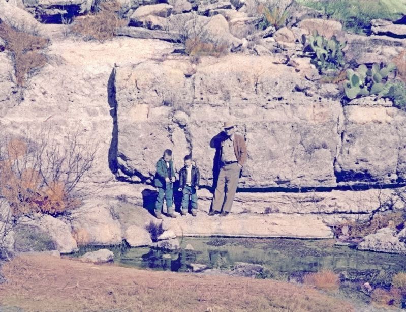
Photographed By Dr. Frank B. Warnock, circa March 27, 1957
5. Tunis Springs below the Tunis Creek Stage Coach Stop Marker
Shown are the contributor, his brother and their grandfather, Roland Warnock, who restored the Stage Coach Stop for the 1936 Texas Centennial. The stop used to be down by these springs until it was moved to the roadside as a rest stop. The springs stopped flowing after heavy pumping for an irrigated farm nearby.
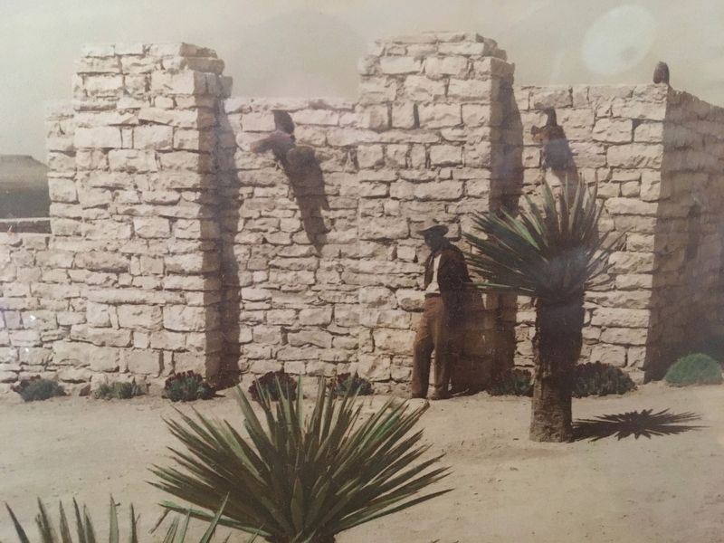
Photographed By Kirby Warnock, March 12, 1936
6. Tunis Creek Stage Coach Stop Dedication
Roland Warnock, Texas Highway Department foreman for Pecos County at the dedication of the Tunis Creek Stage Stop rest area. He supervised the movement of the stage stop from Tunis Springs to the roadside as part of the Texas Centennial.
Credits. This page was last revised on February 6, 2022. It was originally submitted on April 27, 2014, by Richard Denney of Austin, Texas. This page has been viewed 1,275 times since then and 112 times this year. Last updated on April 28, 2014, by Keith S Smith of West Chester, Pennsylvania. Photos: 1, 2, 3, 4. submitted on April 27, 2014, by Richard Denney of Austin, Texas. 5, 6. submitted on February 5, 2022, by Kirby Warnock of Fort Stockton, Texas. • Bill Pfingsten was the editor who published this page.
