Victorville in San Bernardino County, California — The American West (Pacific Coastal)
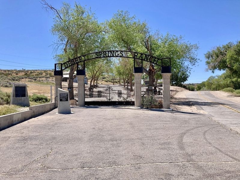
Mojave River Crossing
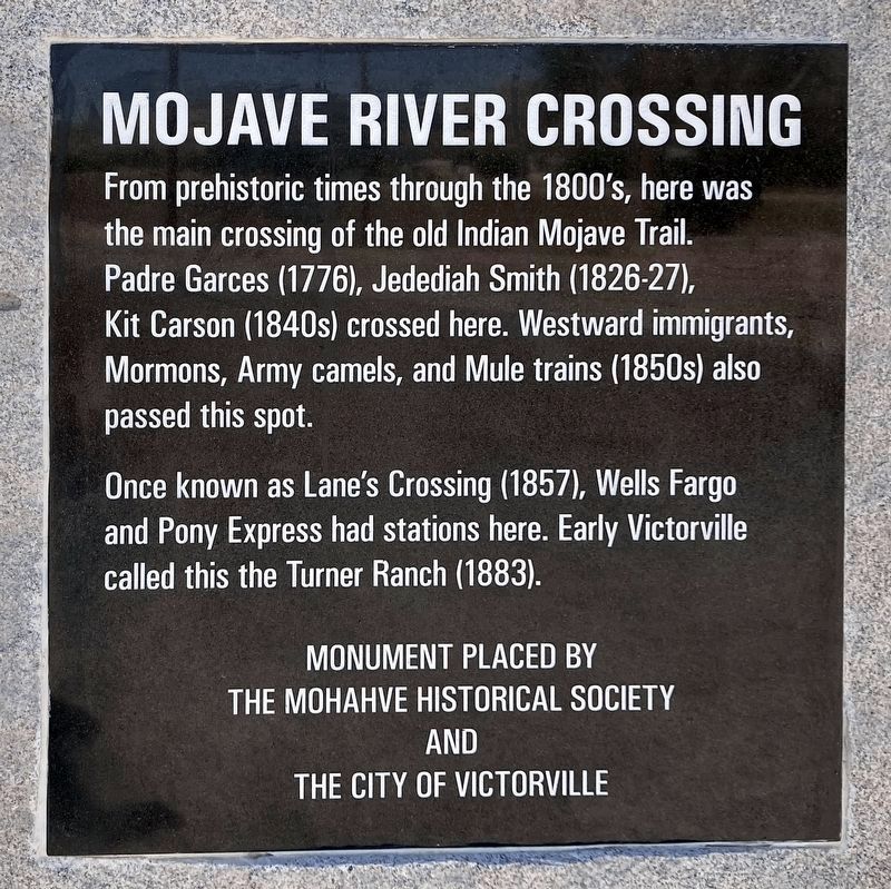
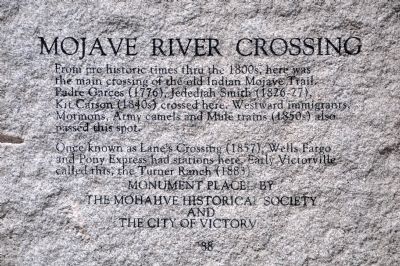
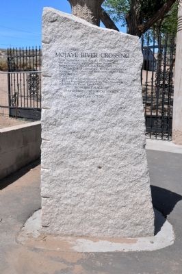
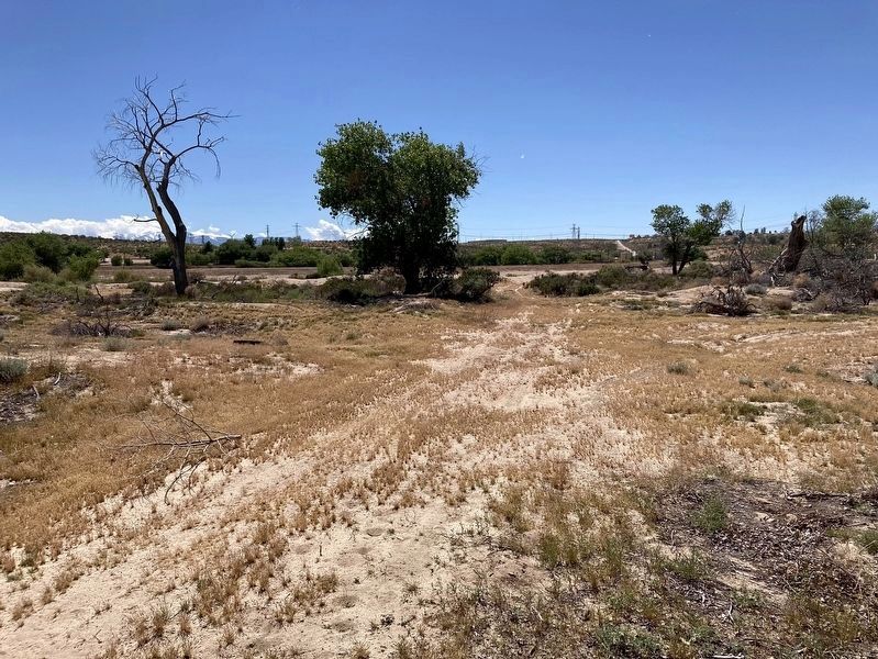
Once known as Lane's Crossing (1857), Wells Fargo and Pony Express had stations here. Early Victorville called this, the Turner Ranch (1883).
Erected 1988 by The Mojave Historical Society and the City of Victorville.
Topics. This historical marker is listed in these topic lists: Exploration • Native Americans • Roads & Vehicles • Settlements & Settlers.
Location. 34° 34.347′ N, 117° 20.183′ W. Marker is in Victorville, California, in San Bernardino County. Marker is on Turner Road, one mile west of National Trails Highway, on the left when traveling west. Touch for map. Marker is at or near this postal address: 14801 Turner Road, Victorville CA 92394, United States of America. Touch for directions.
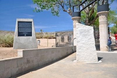
Other nearby markers. At least 8 other markers are within 4 miles of this marker, measured as the crow flies. Lane's Crossing (here, next to this marker); Emma Jean's (approx. 1˝ miles away); Oro Grande Cemetery (approx. 2 miles away); George Air Force Base (approx. 2.4 miles away); F-4C Phantom II (approx. 2.4 miles away); California Route 66 Museum, Victorville, California (approx. 3.4 miles away); Old Town Victorville Veterans Memorial (approx. 3.6 miles away); Mormon Springs (approx. 3.6 miles away). Touch for a list and map of all markers in Victorville.
Credits. This page was last revised on April 29, 2024. It was originally submitted on May 7, 2014, by Michael Kindig of Elk Grove, California. This page has been viewed 1,303 times since then and 116 times this year. Photos: 1. submitted on April 28, 2024, by Craig Baker of Sylmar, California. 2, 3, 4. submitted on May 7, 2014, by Michael Kindig of Elk Grove, California. 5, 6. submitted on April 28, 2024, by Craig Baker of Sylmar, California. • Bill Pfingsten was the editor who published this page.
